本文
都市計画に関する明示(用途境界等) について
都市計画に関する境界線の明示(用途境界等)
敷地内に都市計画(都市計画道路,公園,緑地,用途地域,市街化区域,市街化調整区域)等がまたがる場合に境界の明示を行っていましたが、都市計画情報のオープンデータ化に伴い、順次、当該業務を廃止します。
しかしながら、都市計画施設・区域区分(市街化区域・市街化調整区域の境界)については、慎重な判断が必要であることから、継続して明示業務を行いますので、窓口でご相談したうえで、申請をしてください。
| 状況 | 備考 | |
|---|---|---|
| 01 区域区分(市街化区域・市街化調整区域) | 継続中 | |
| 02 都市計画施設(公園・道路等) | 継続中 | |
| 03 用途地域 | 廃止 | オープンデータ化 |
01 用途境界等の確認方法について
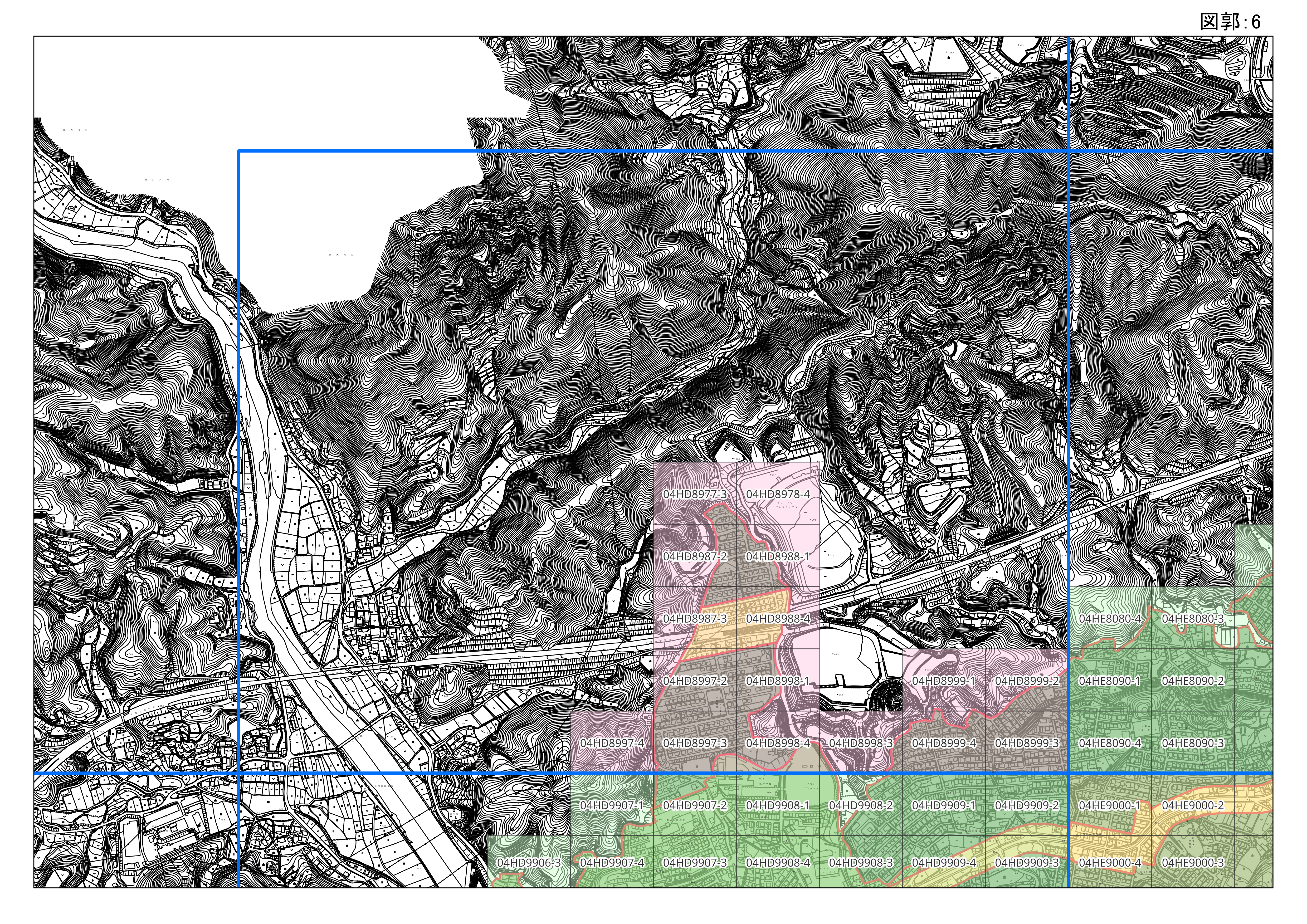
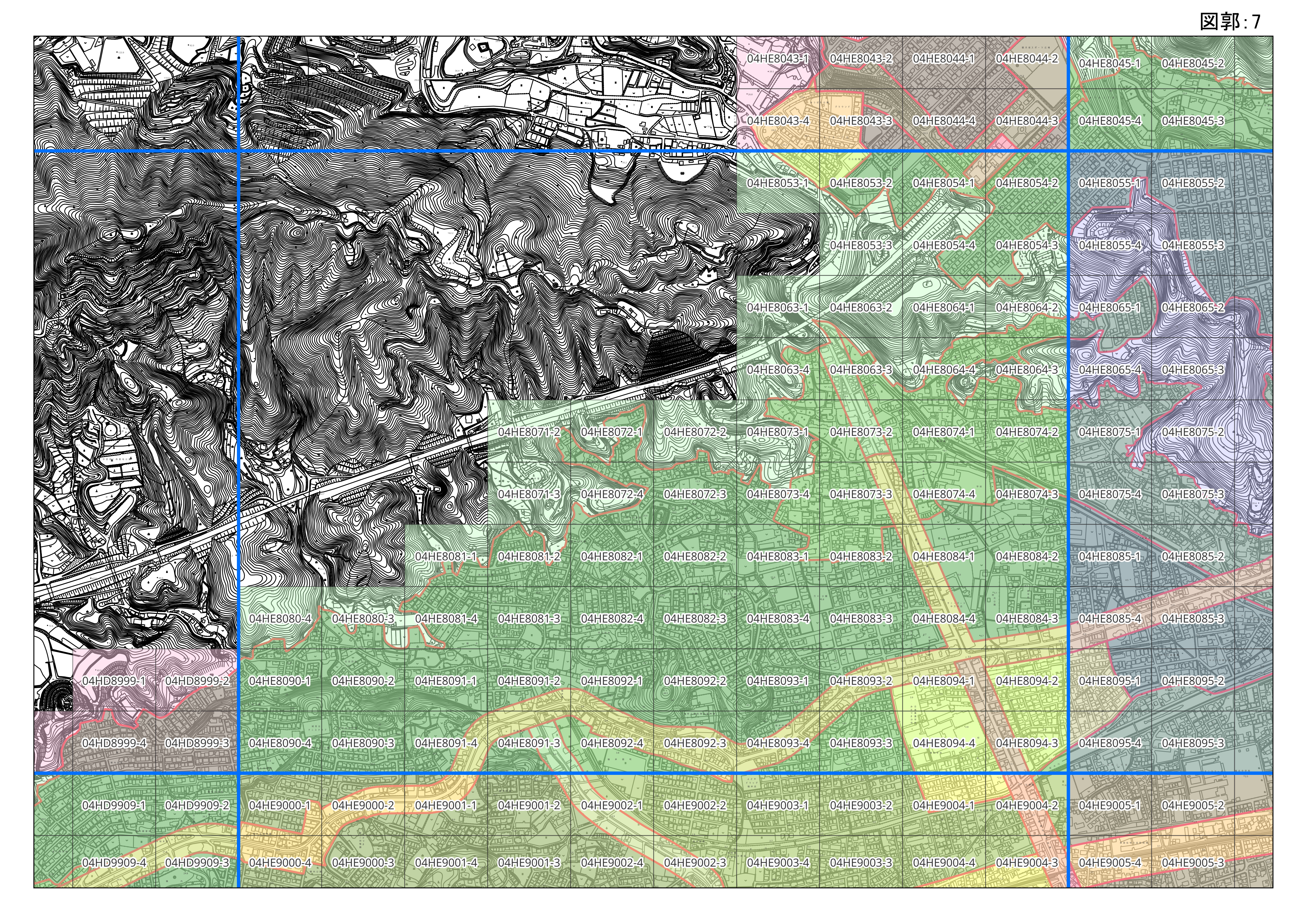
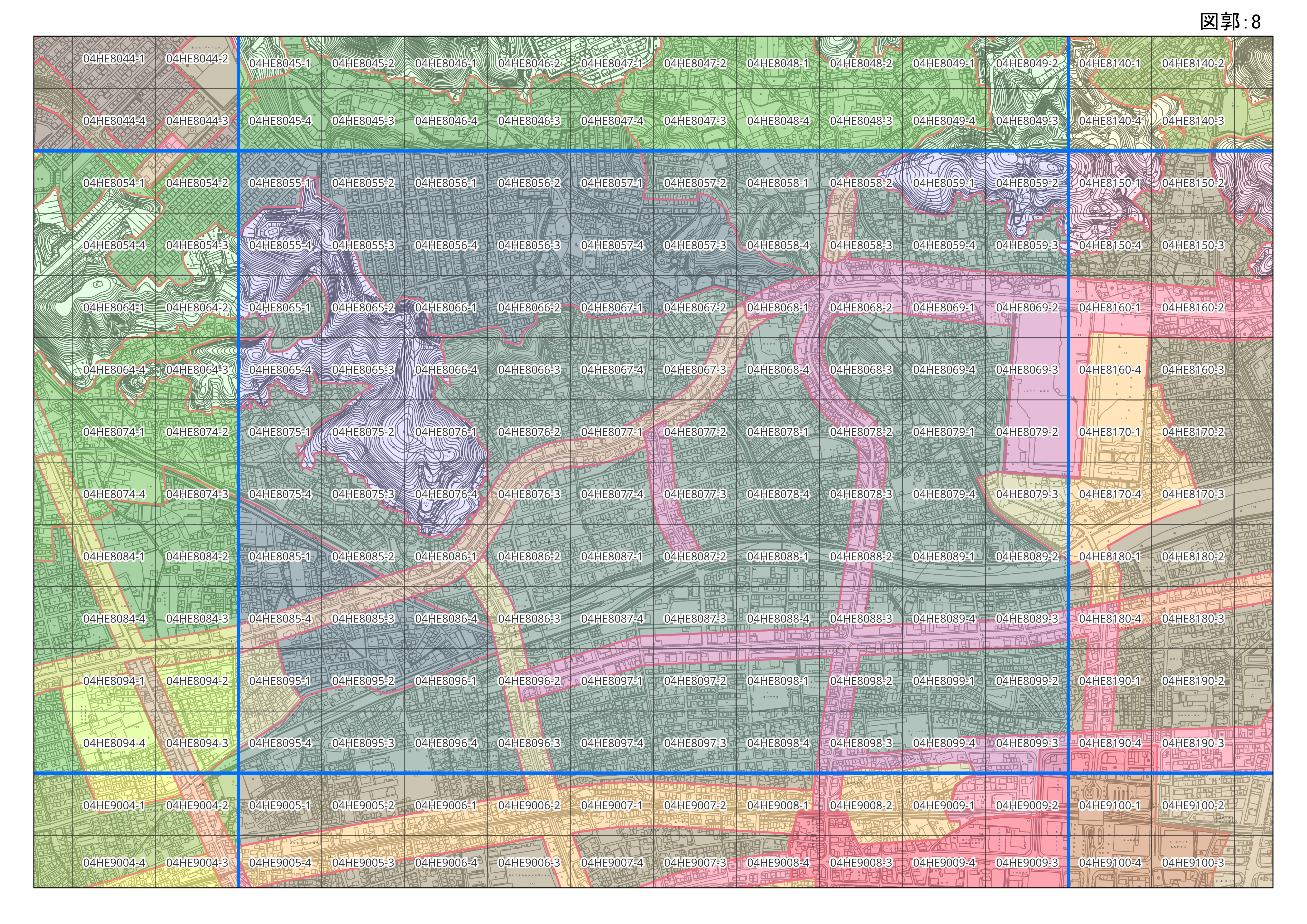
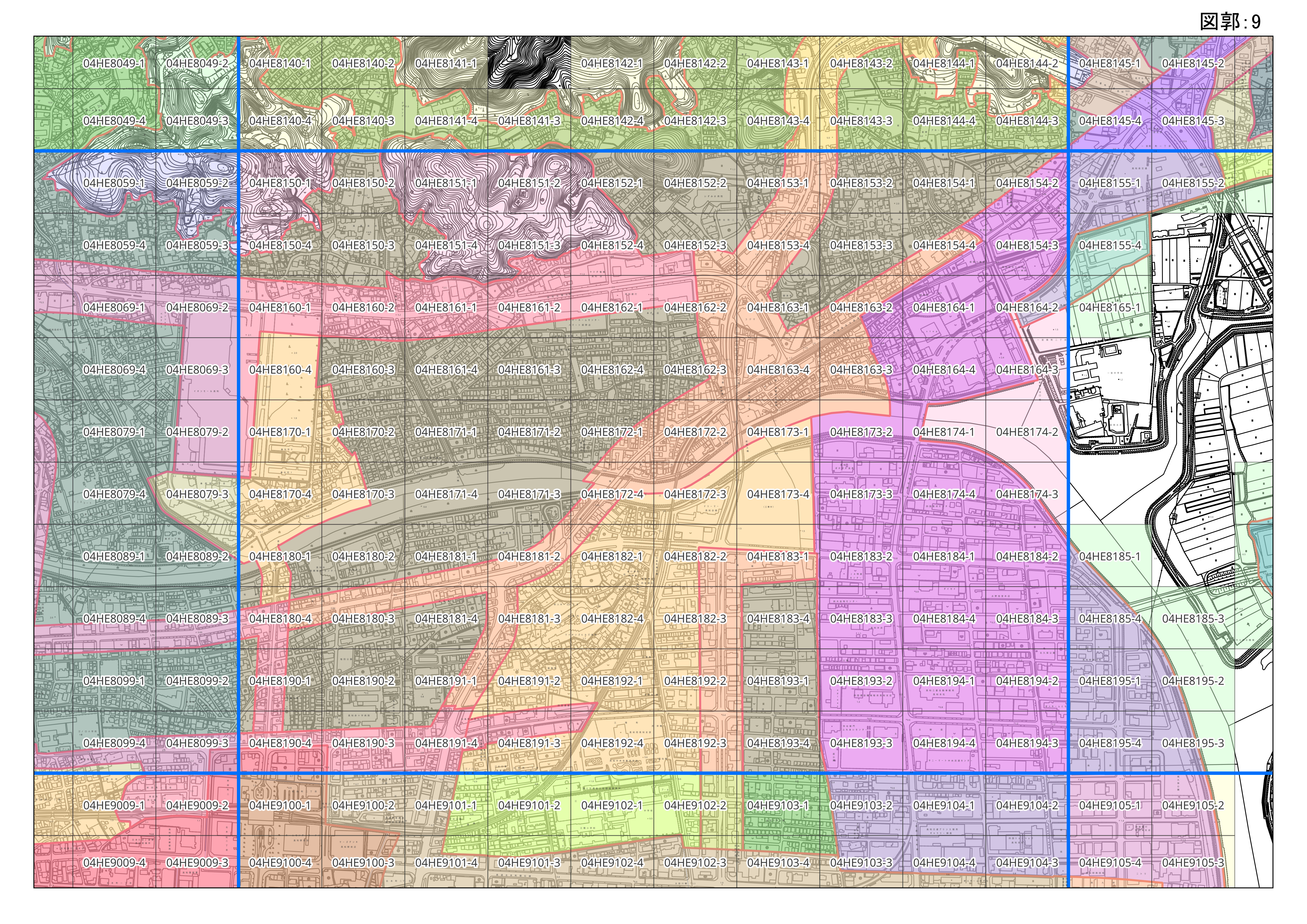
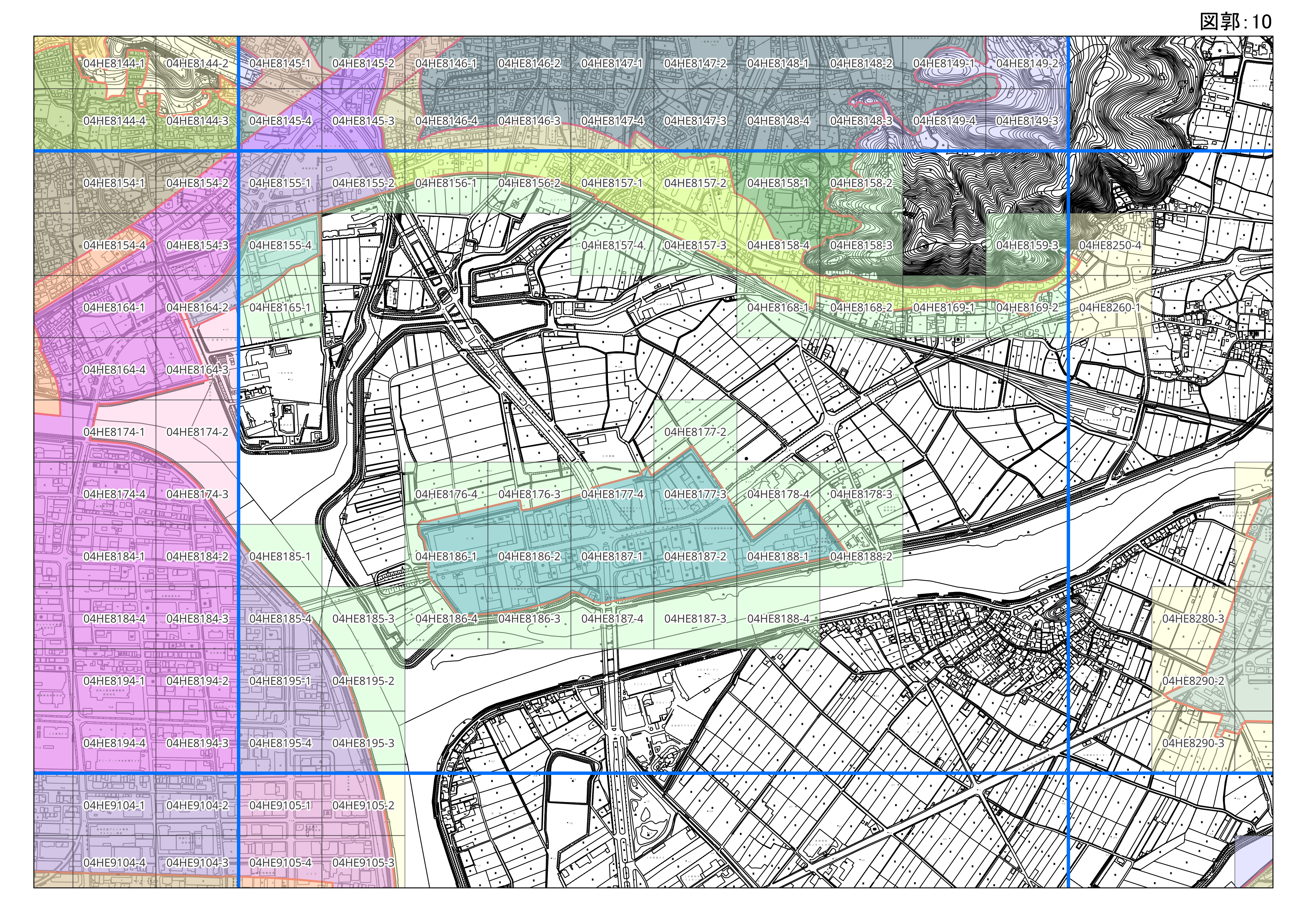
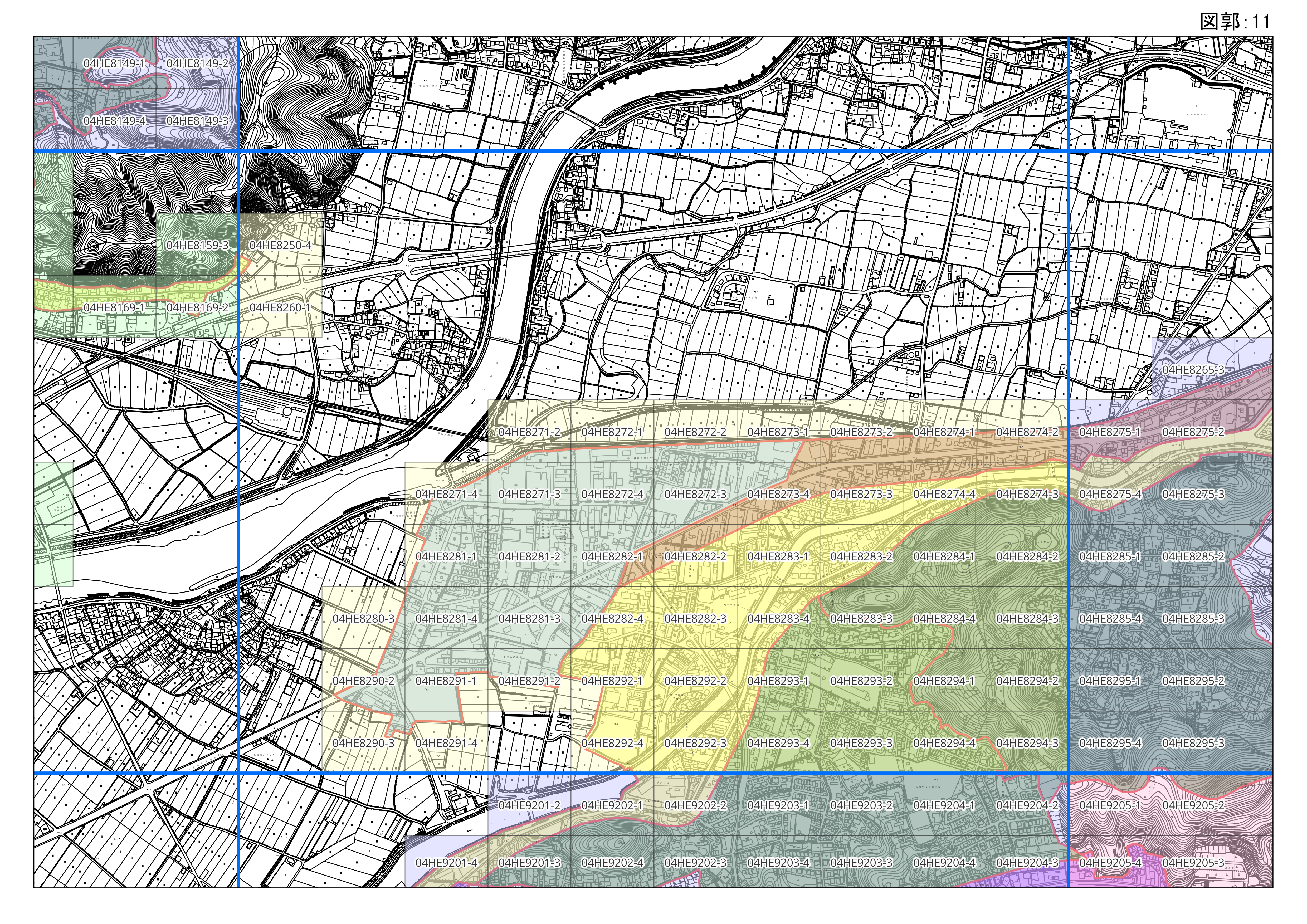
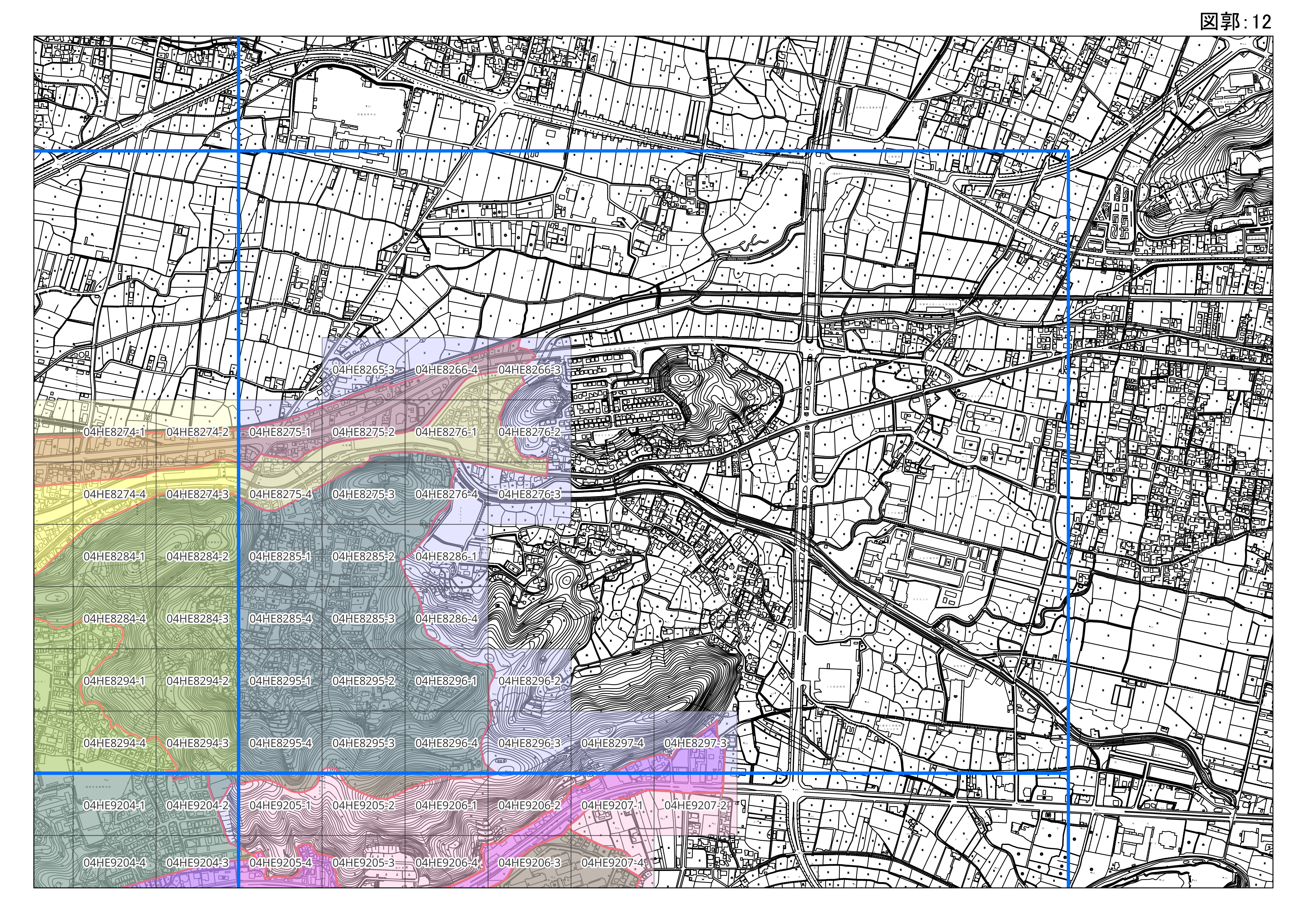
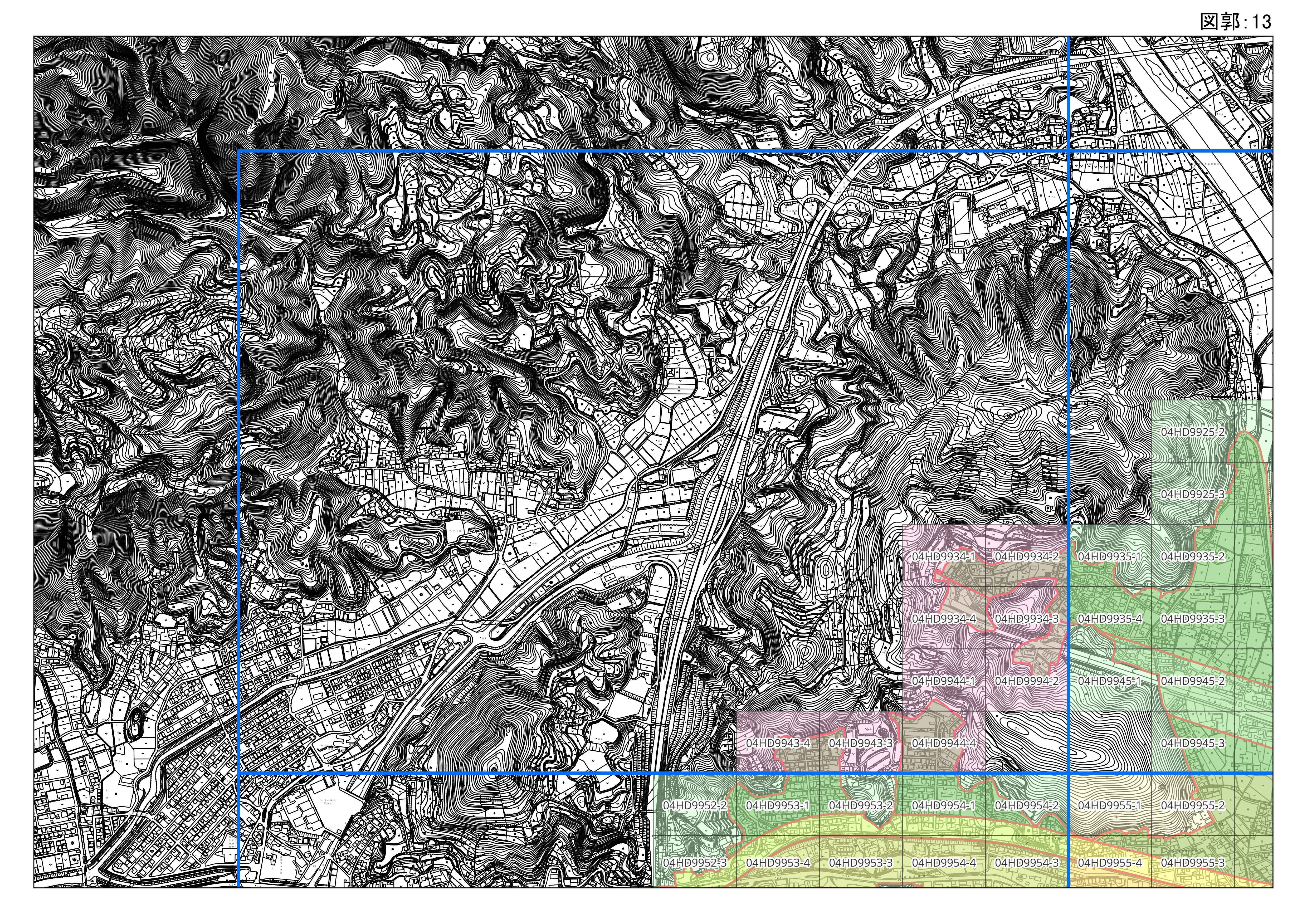
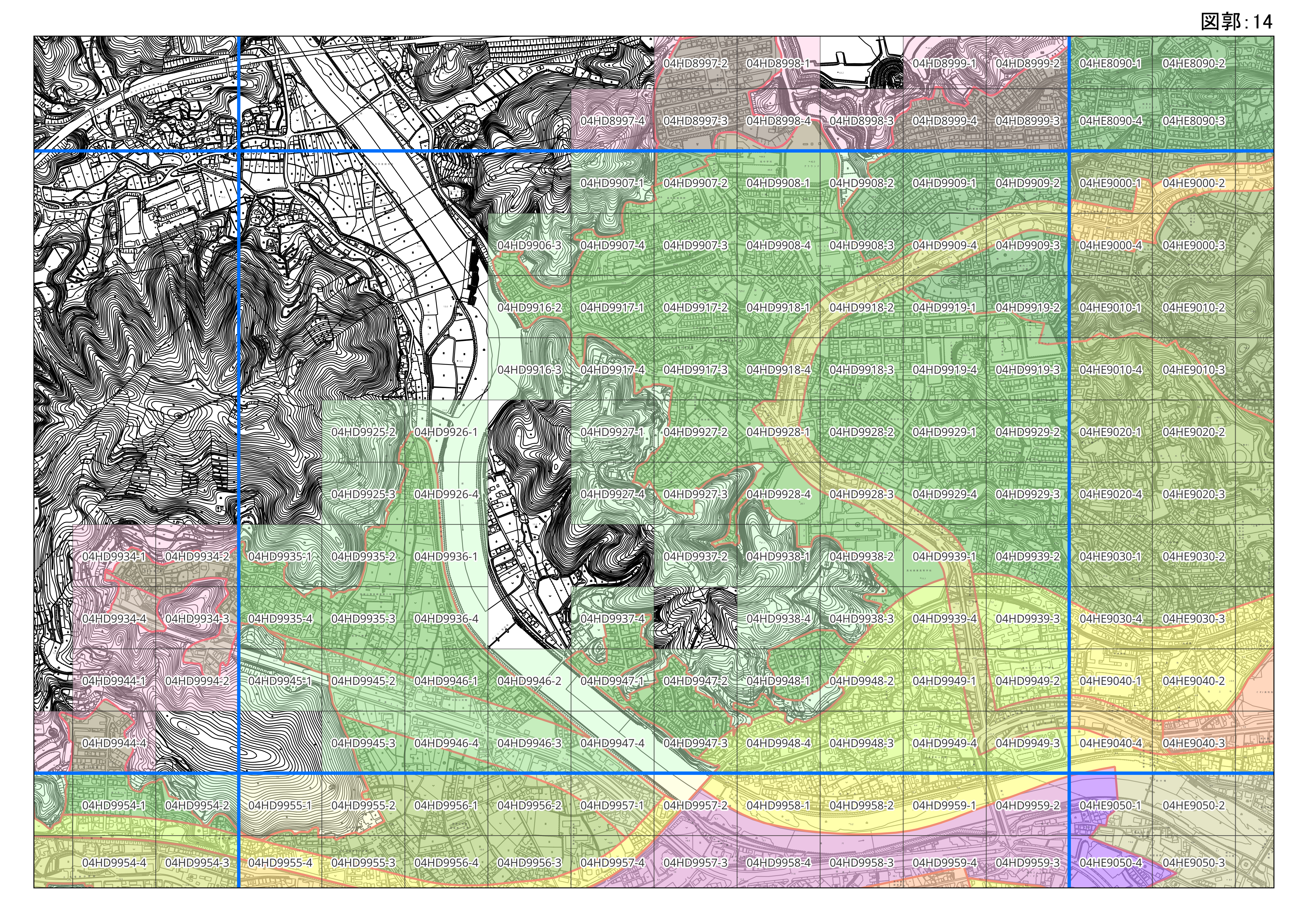
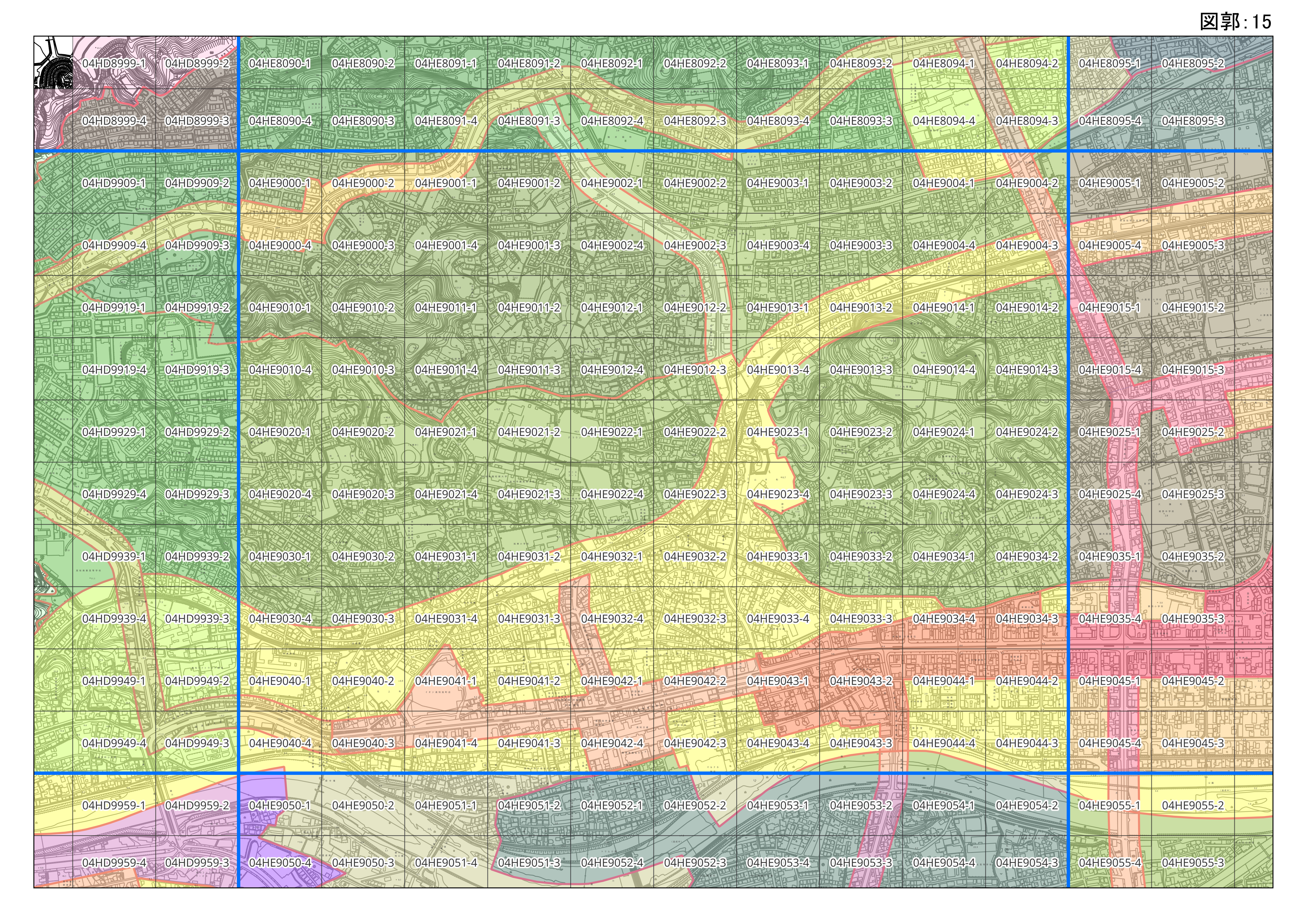
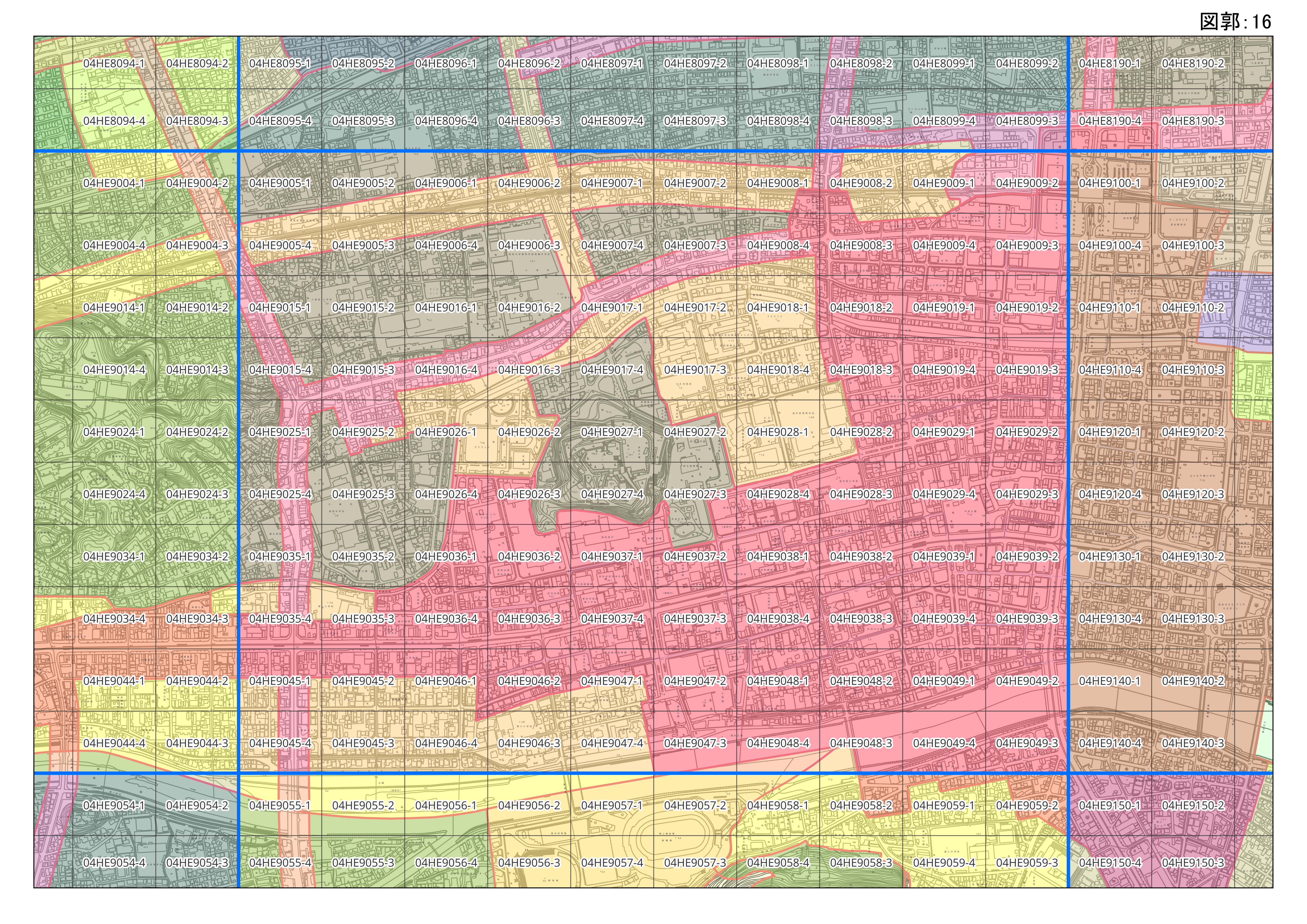
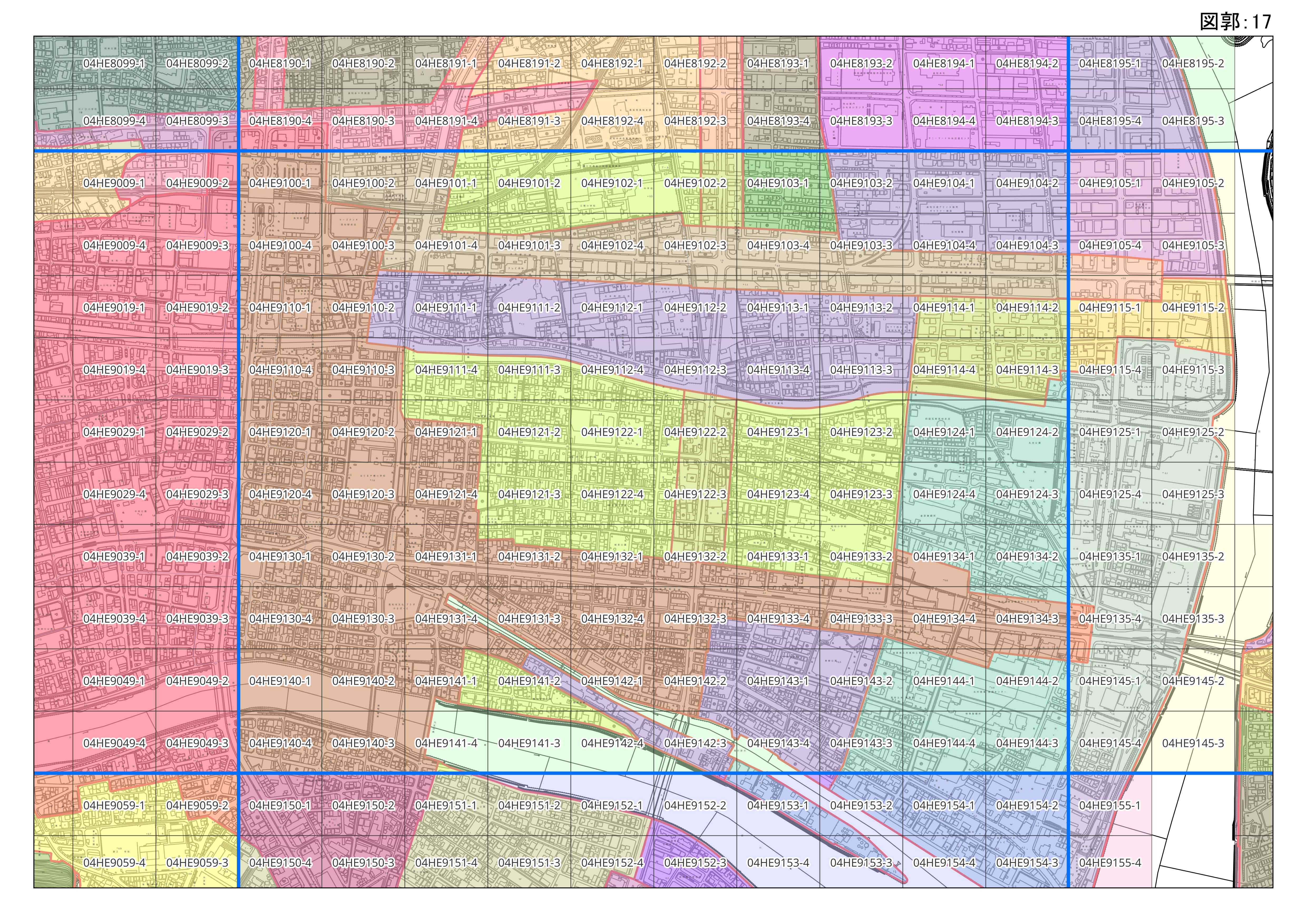
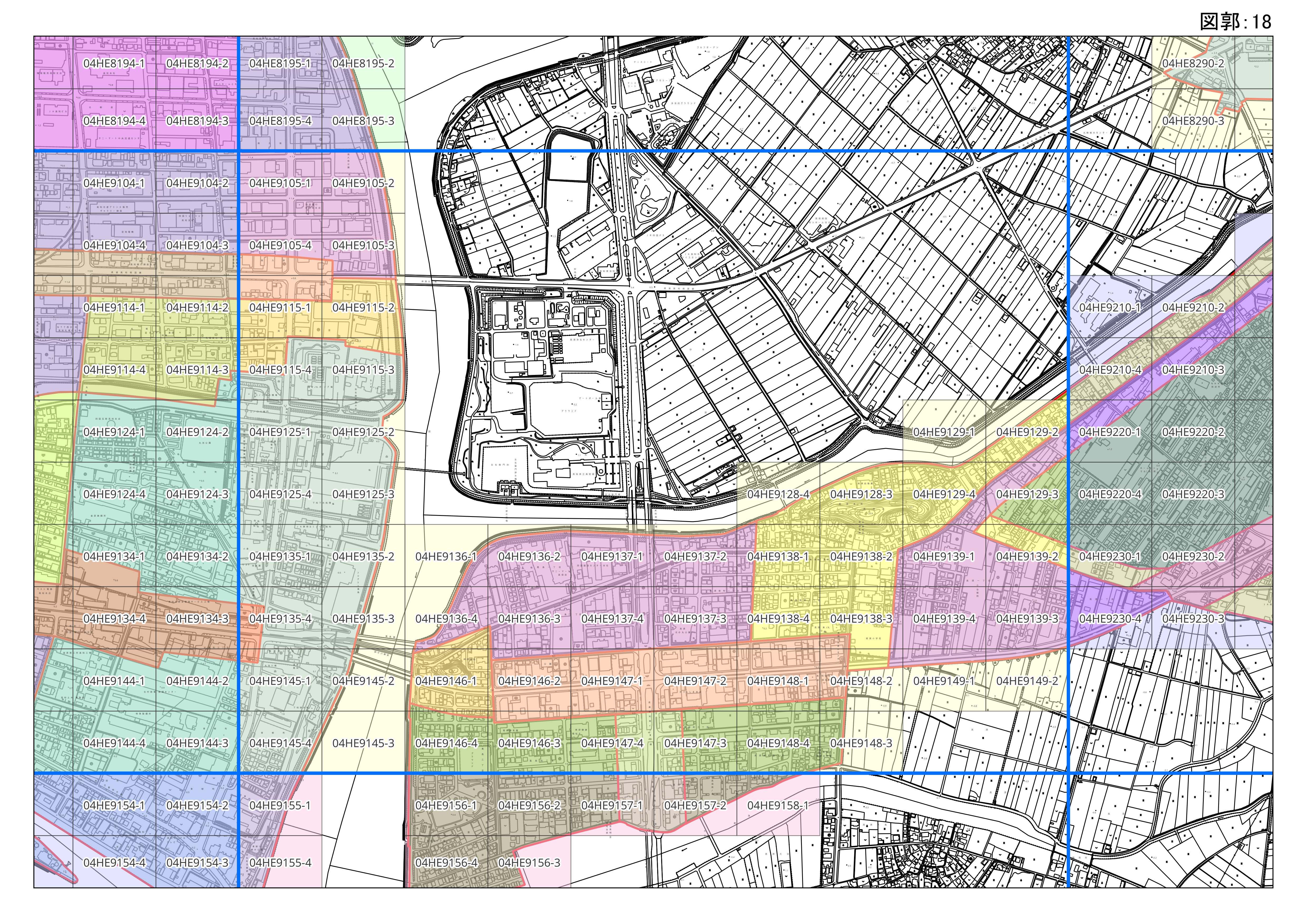
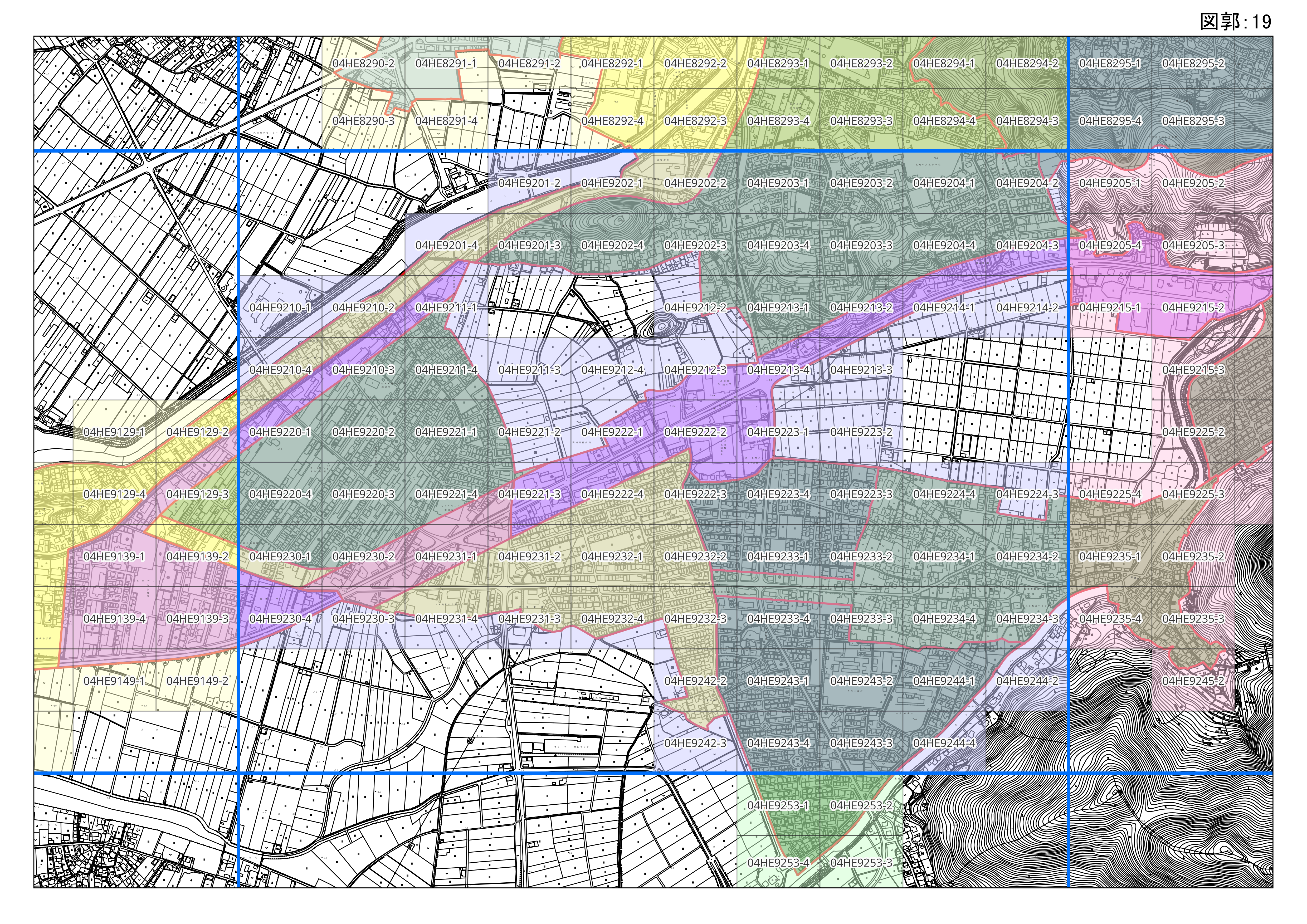
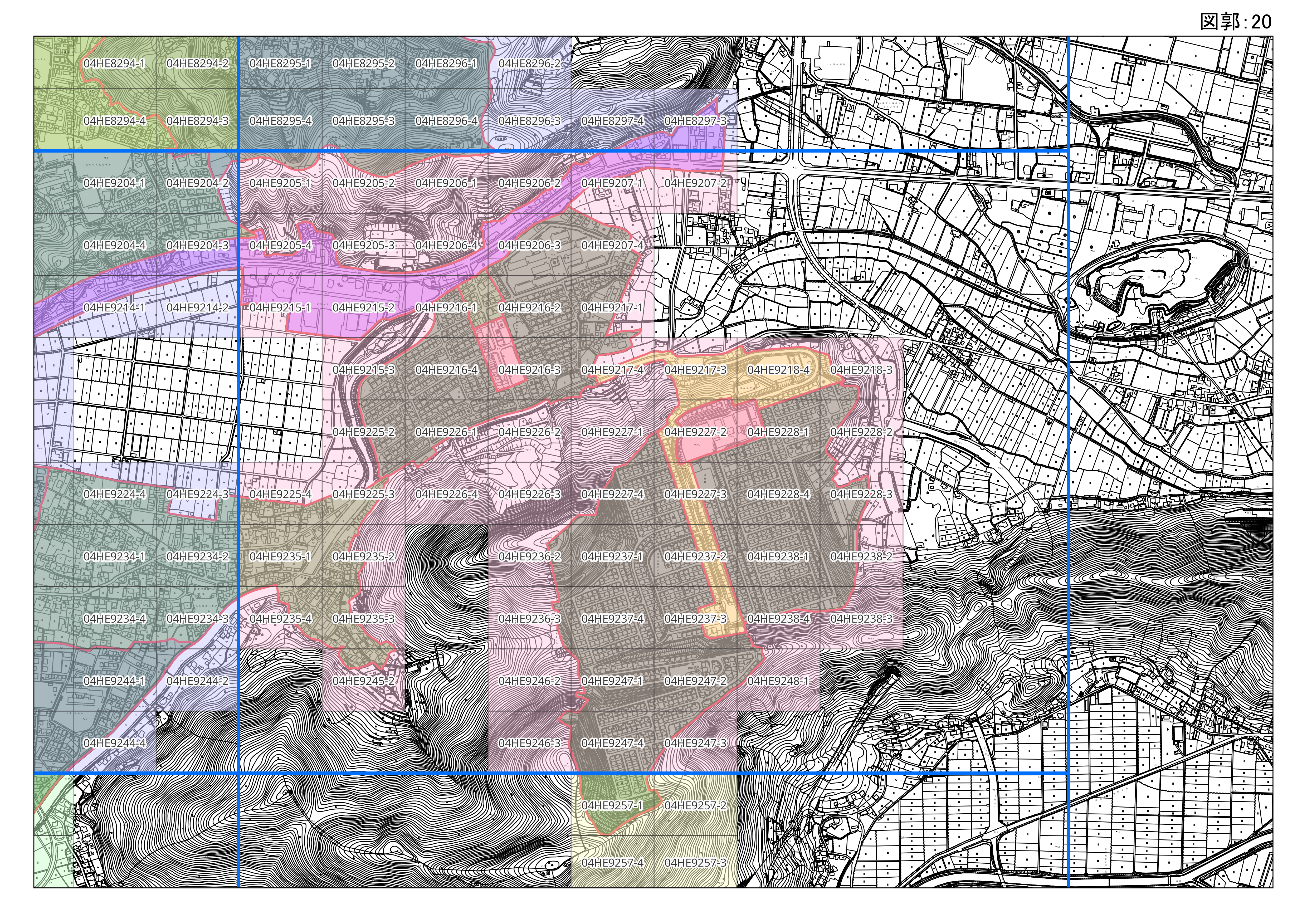
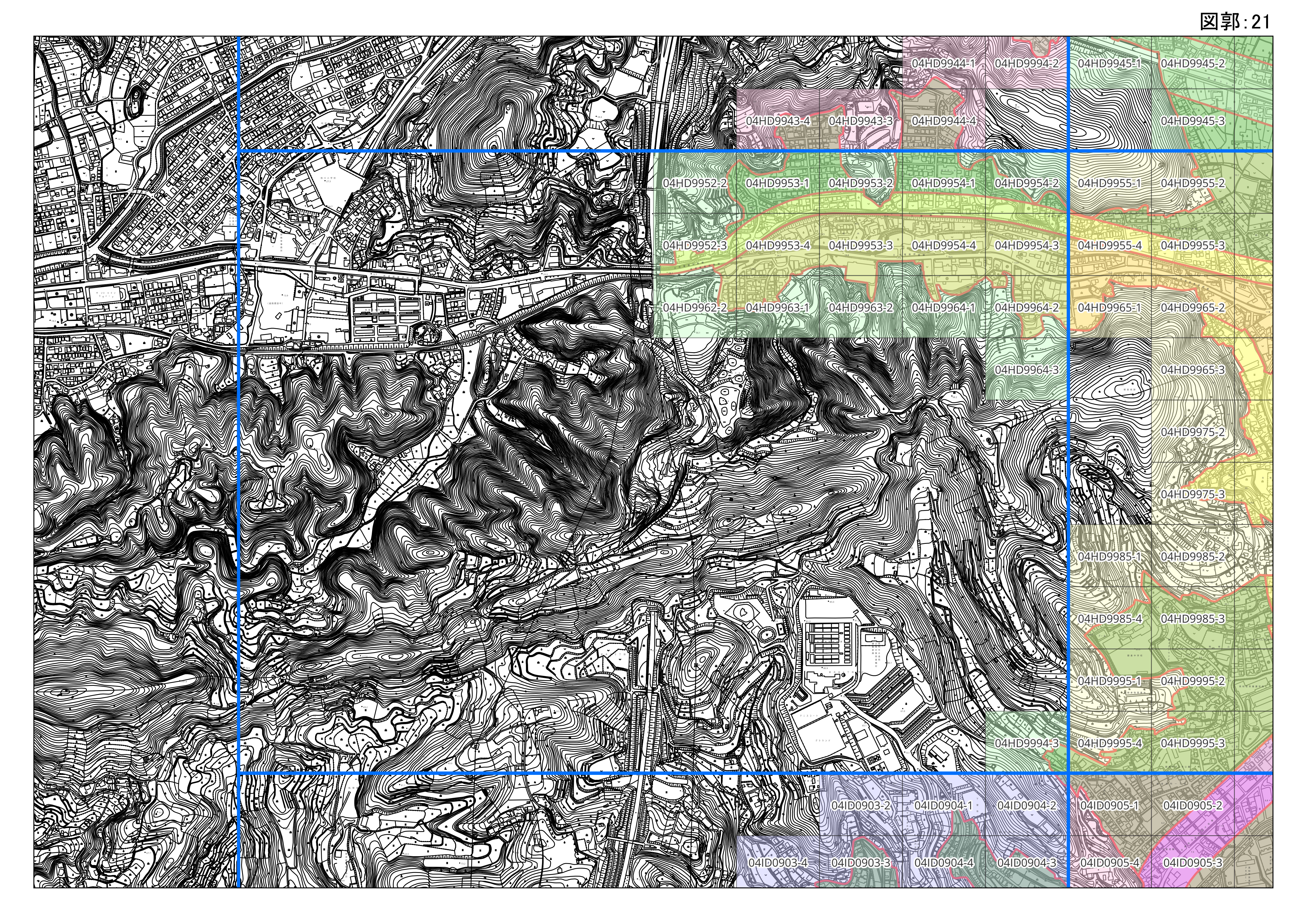
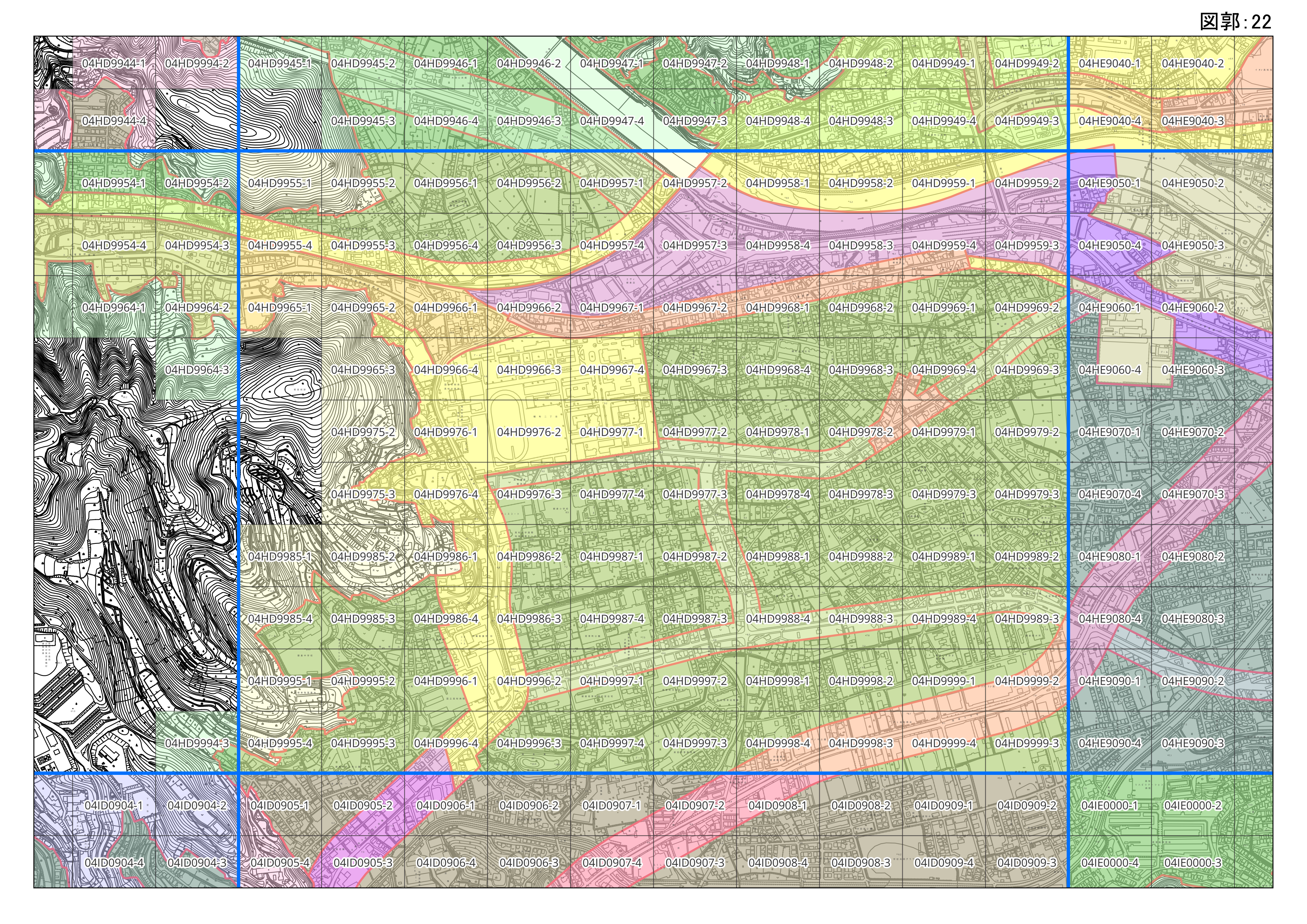
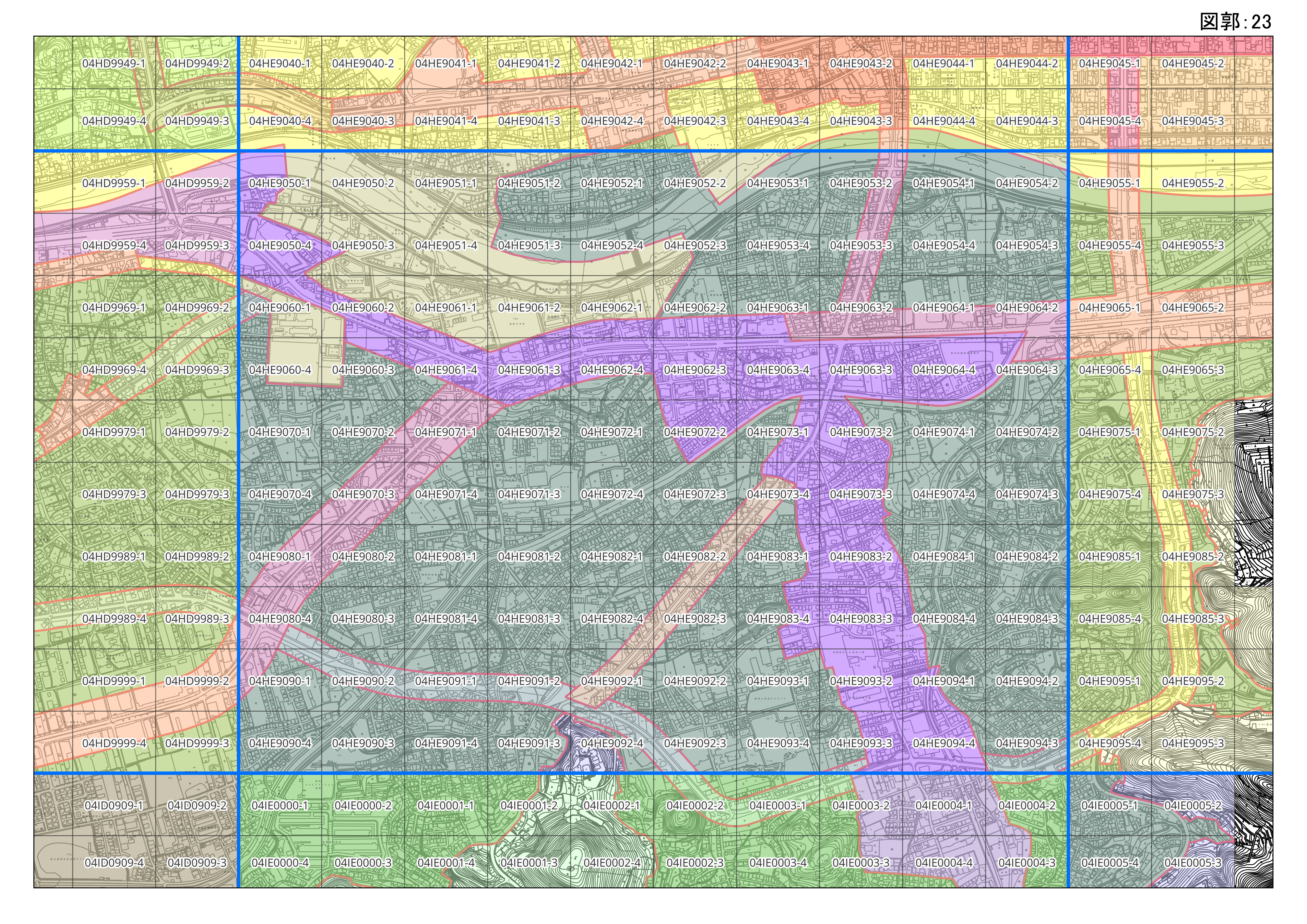
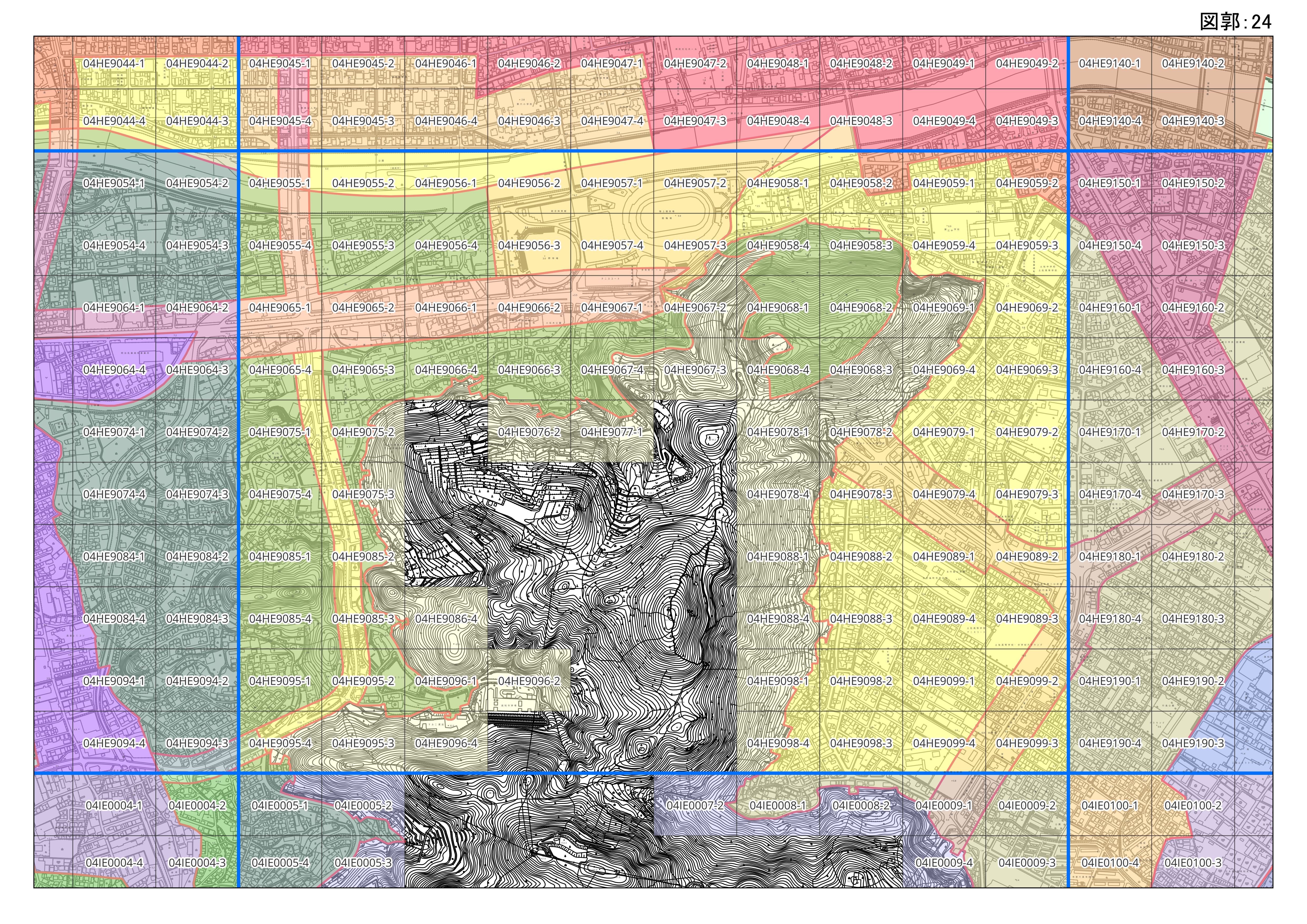
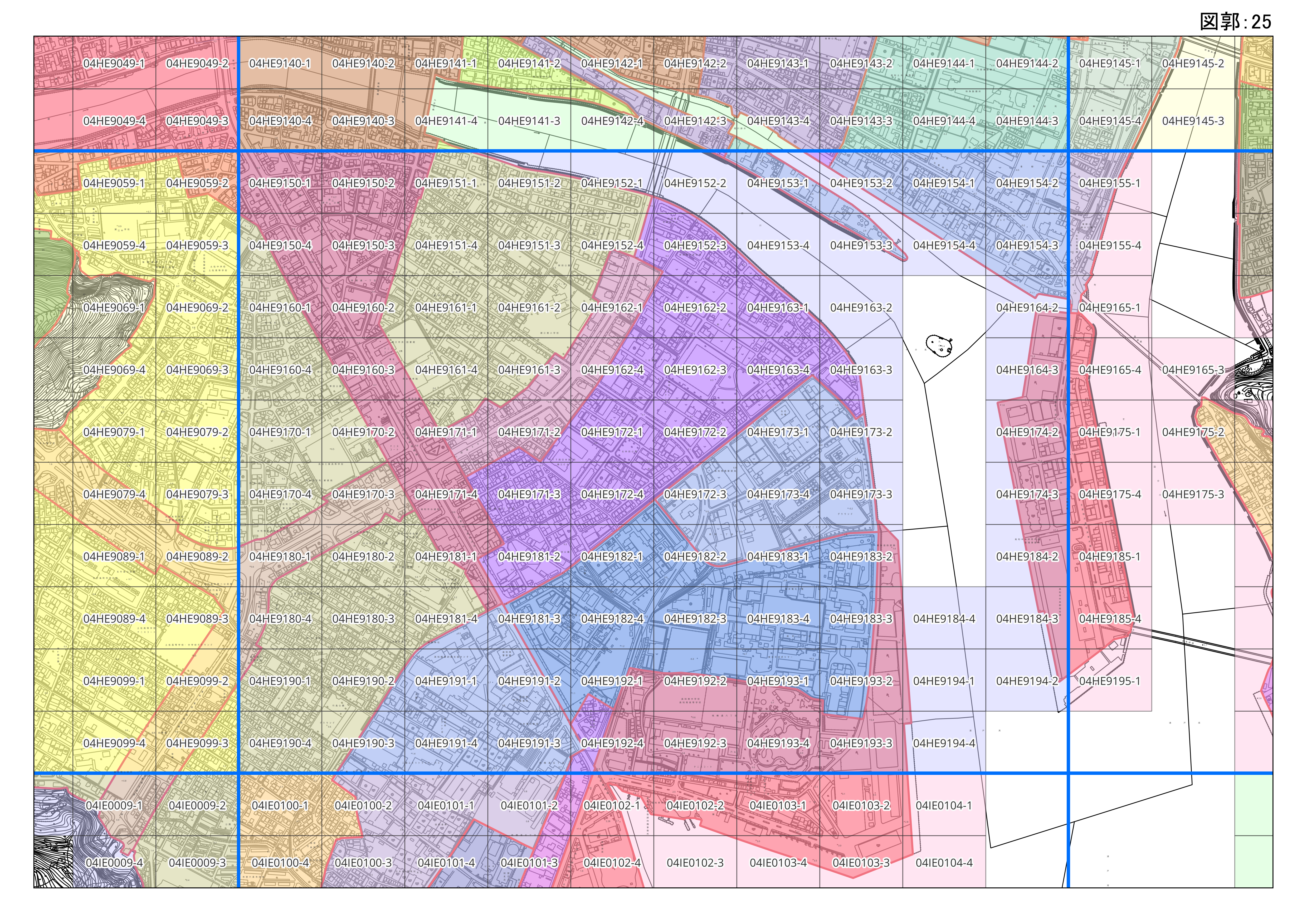
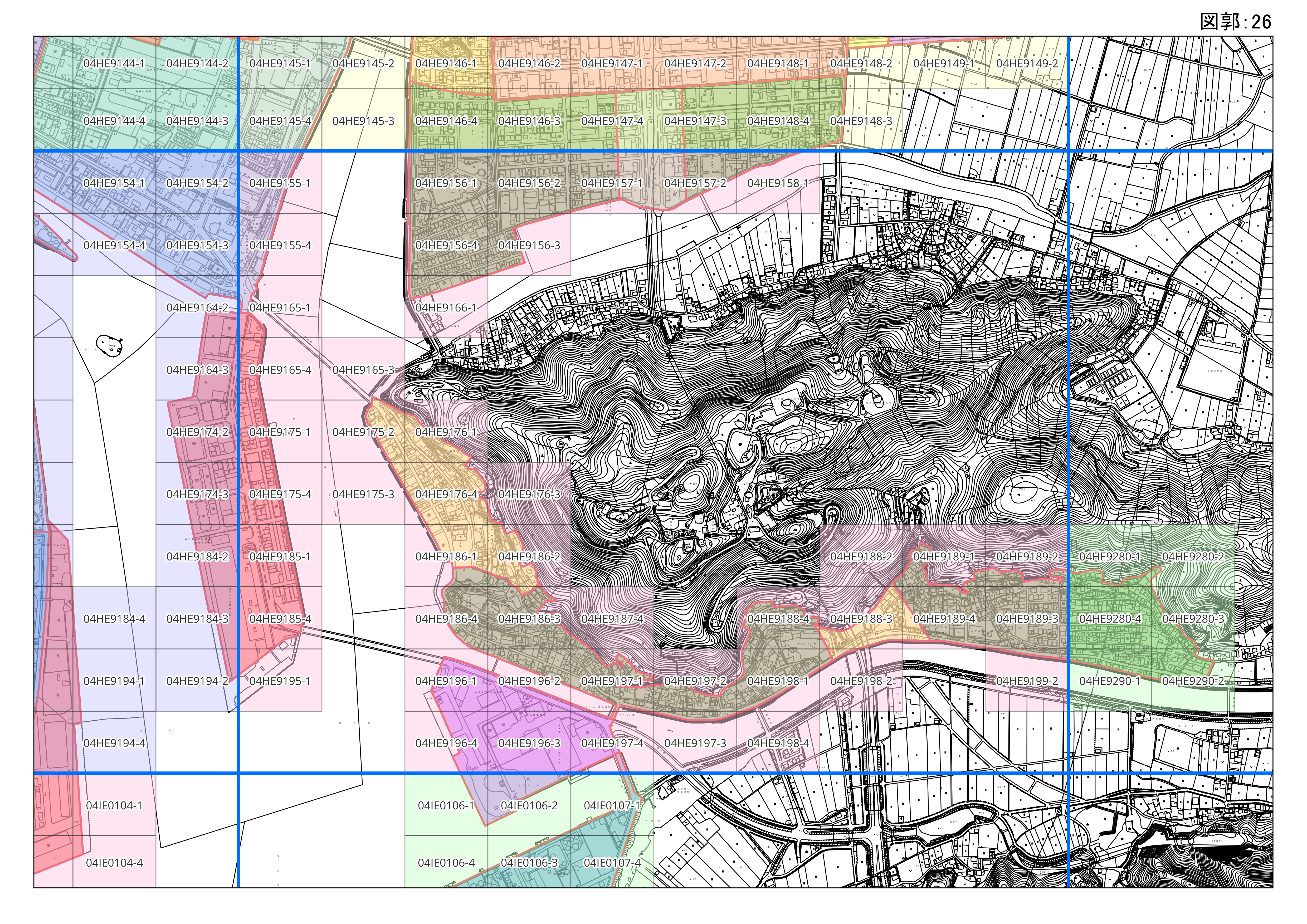
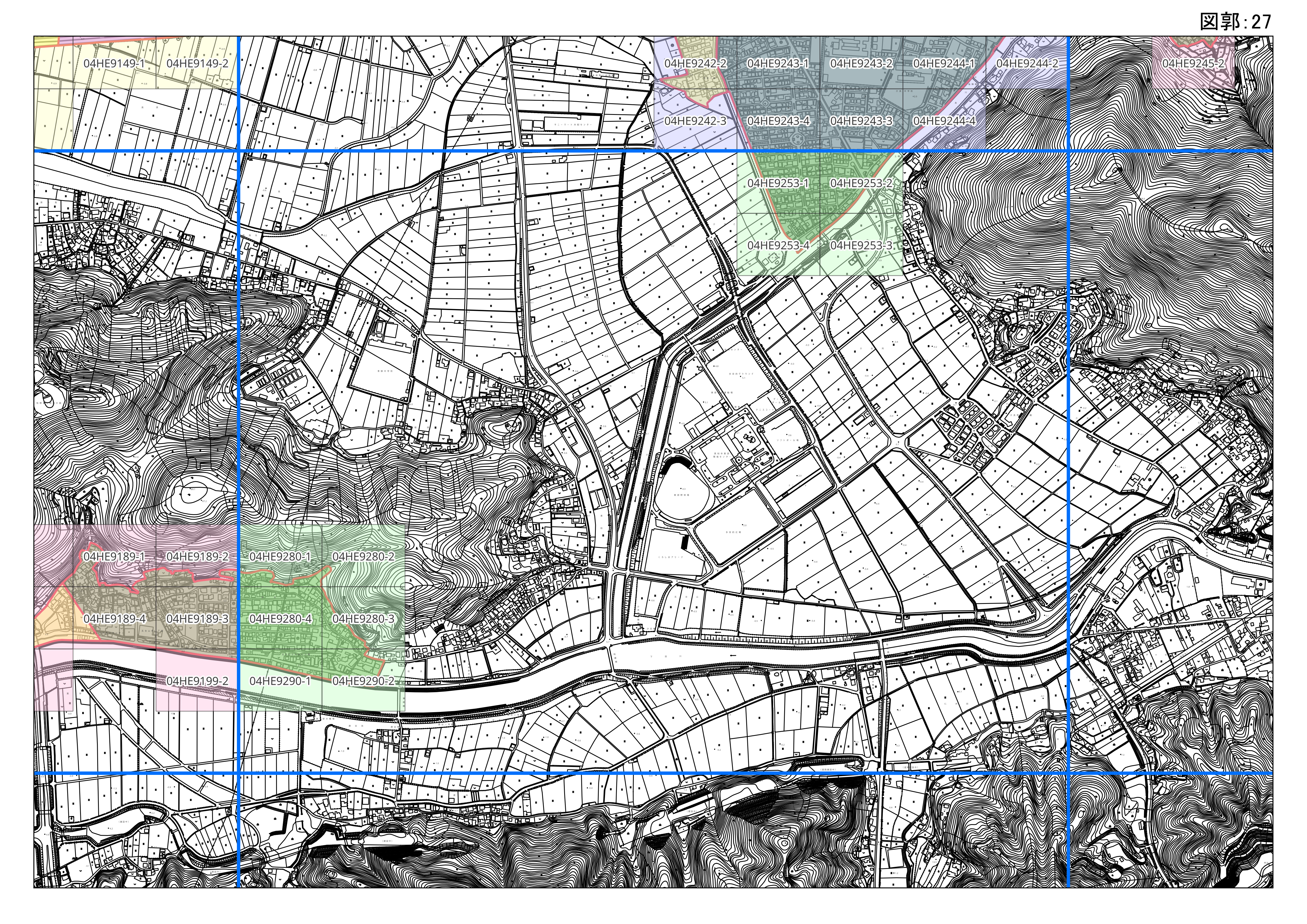
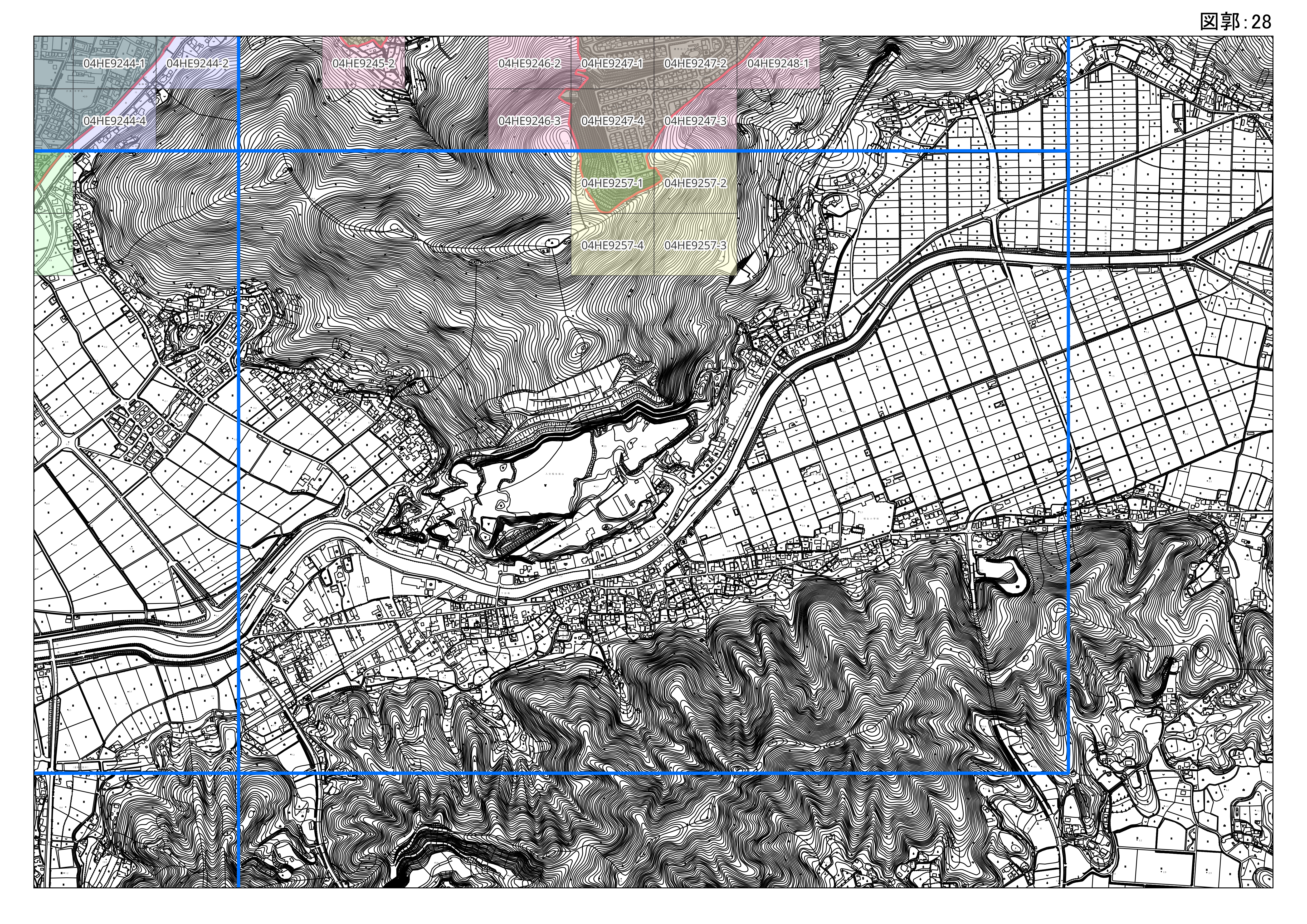
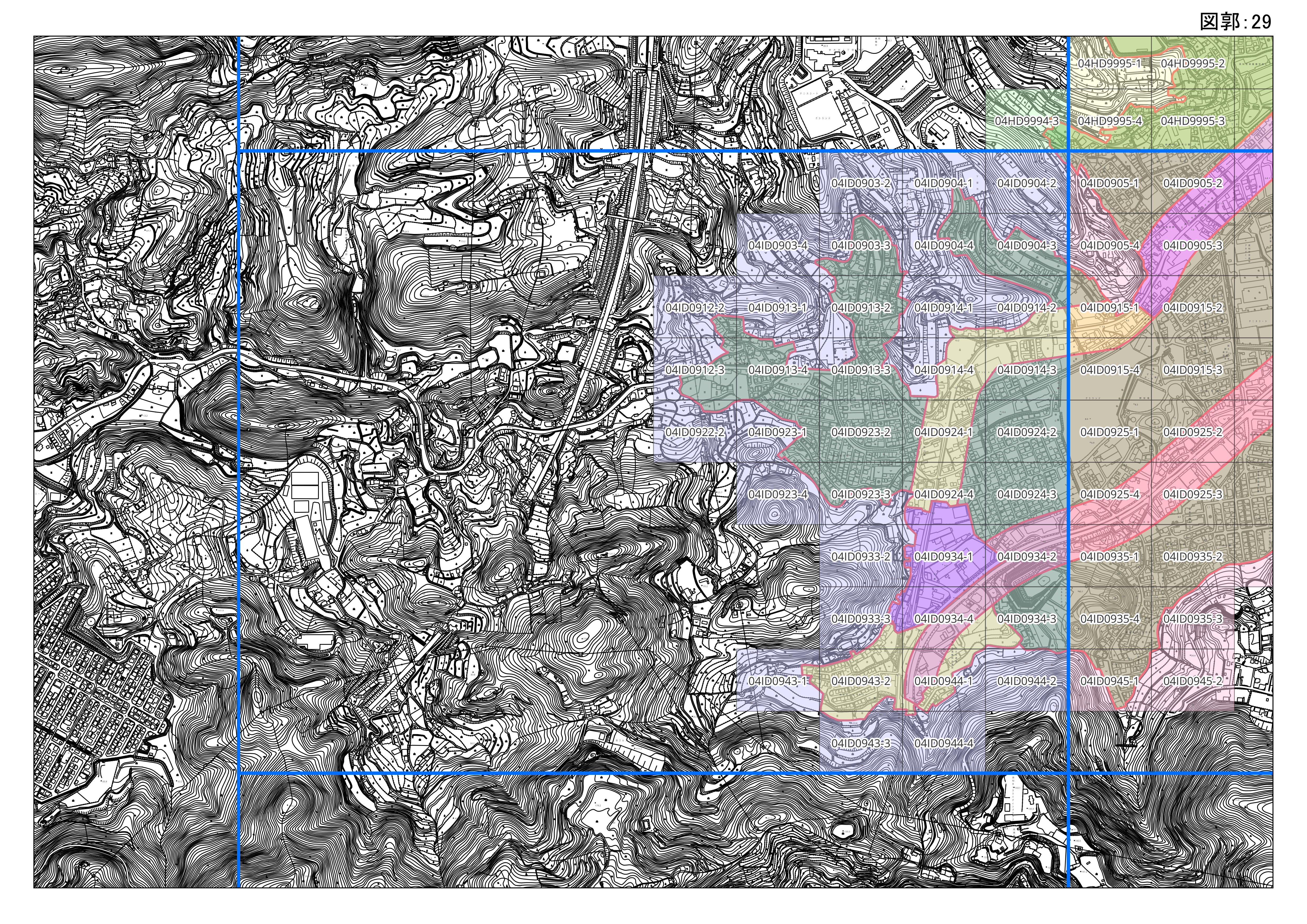
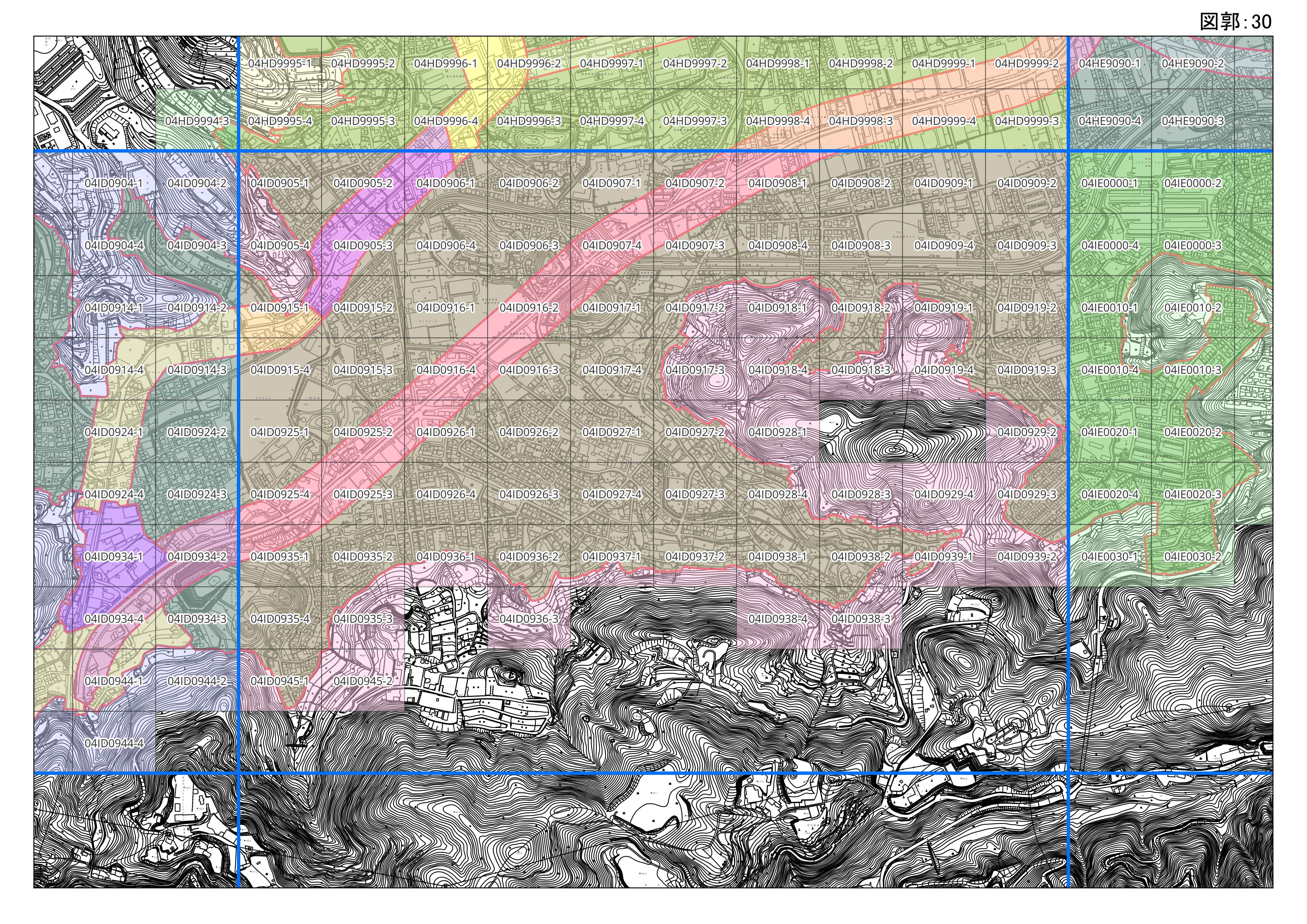
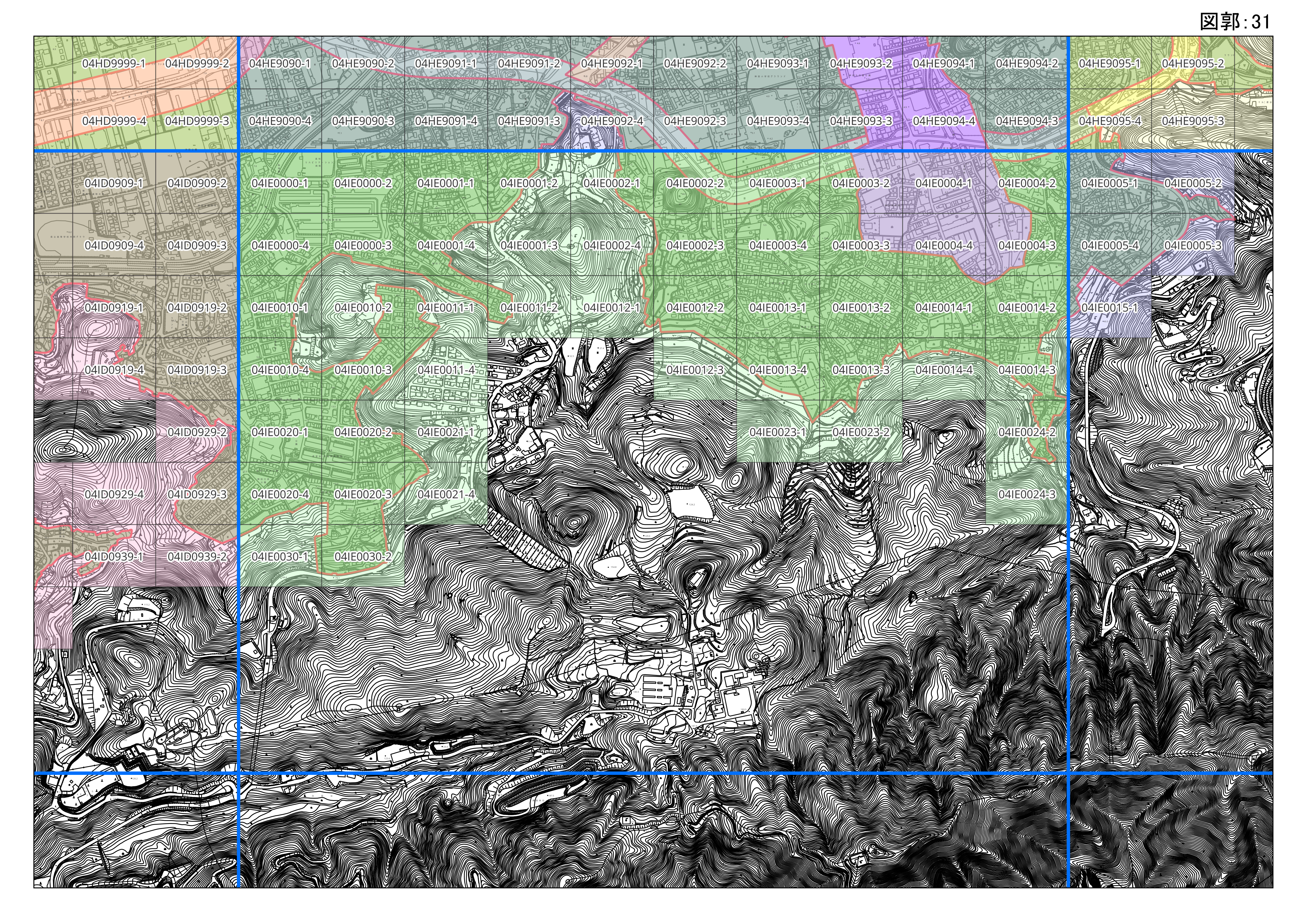
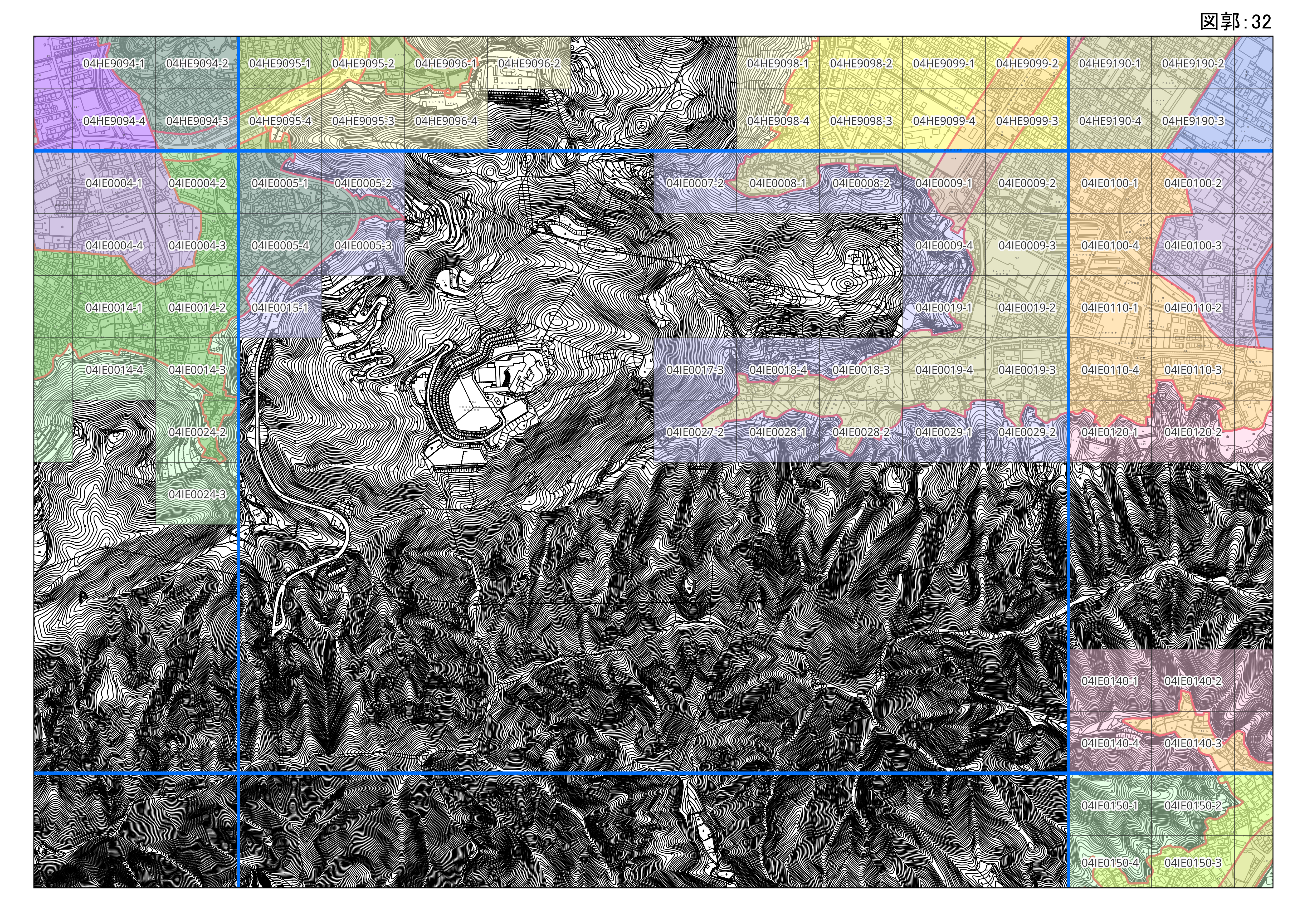
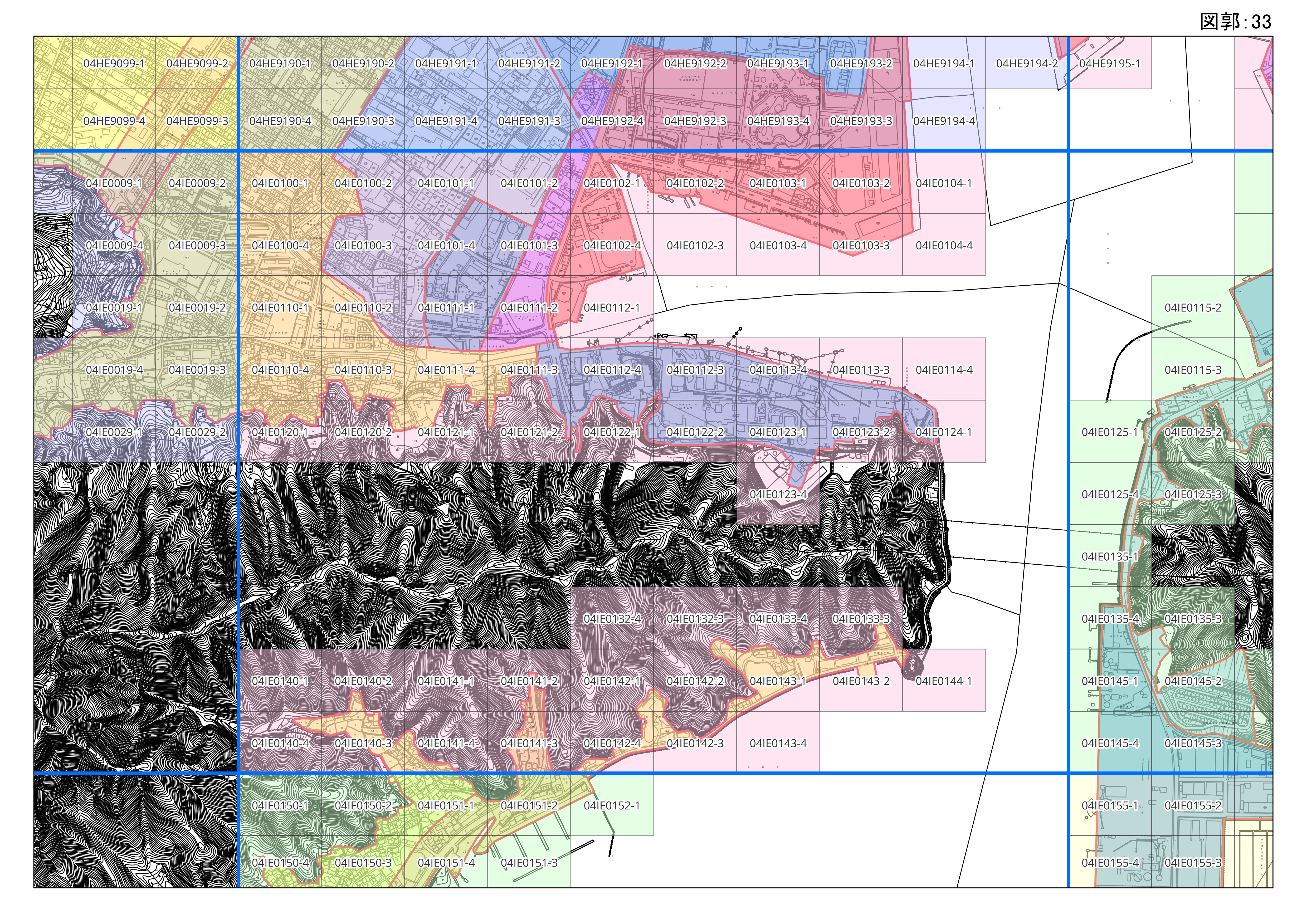
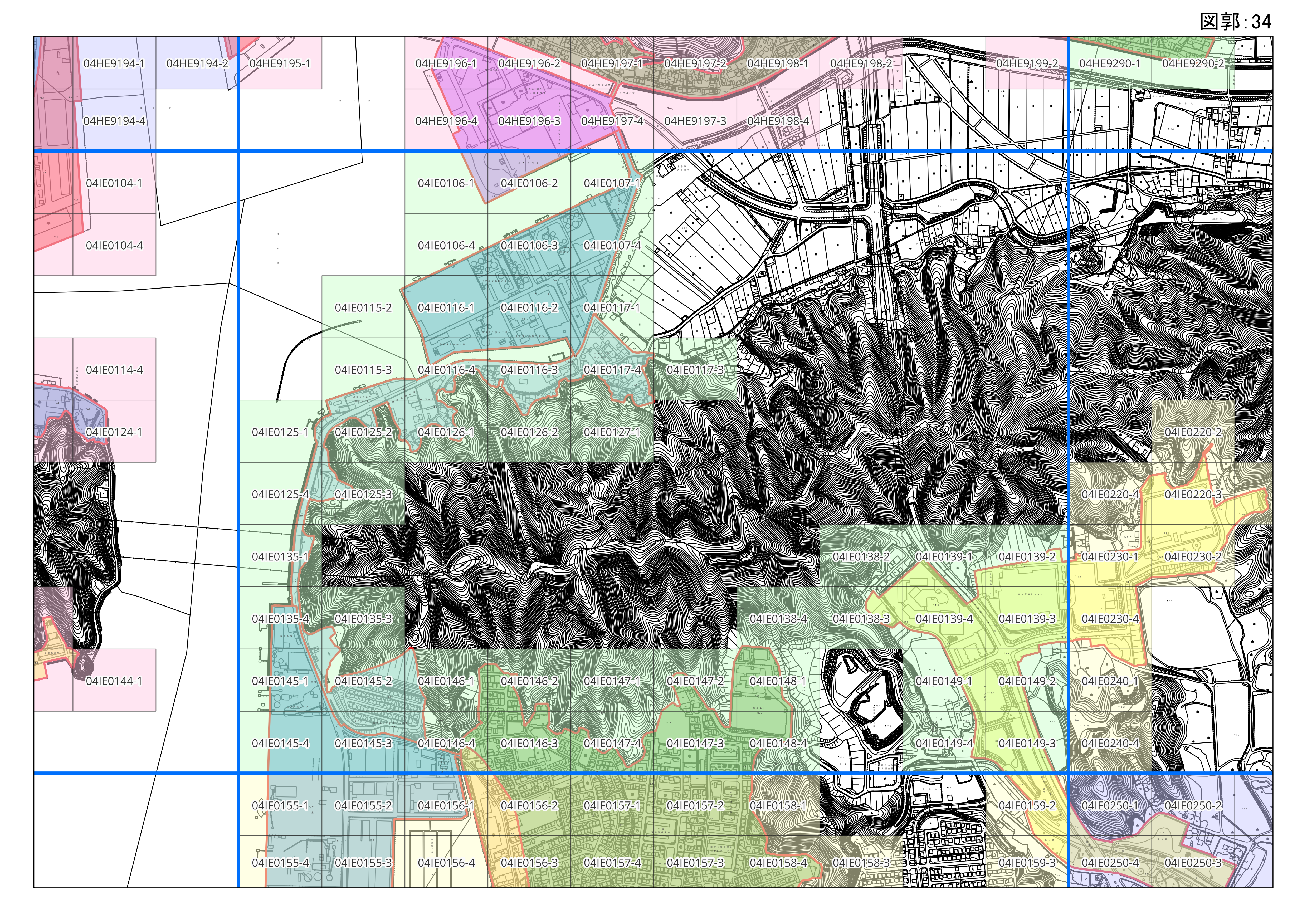
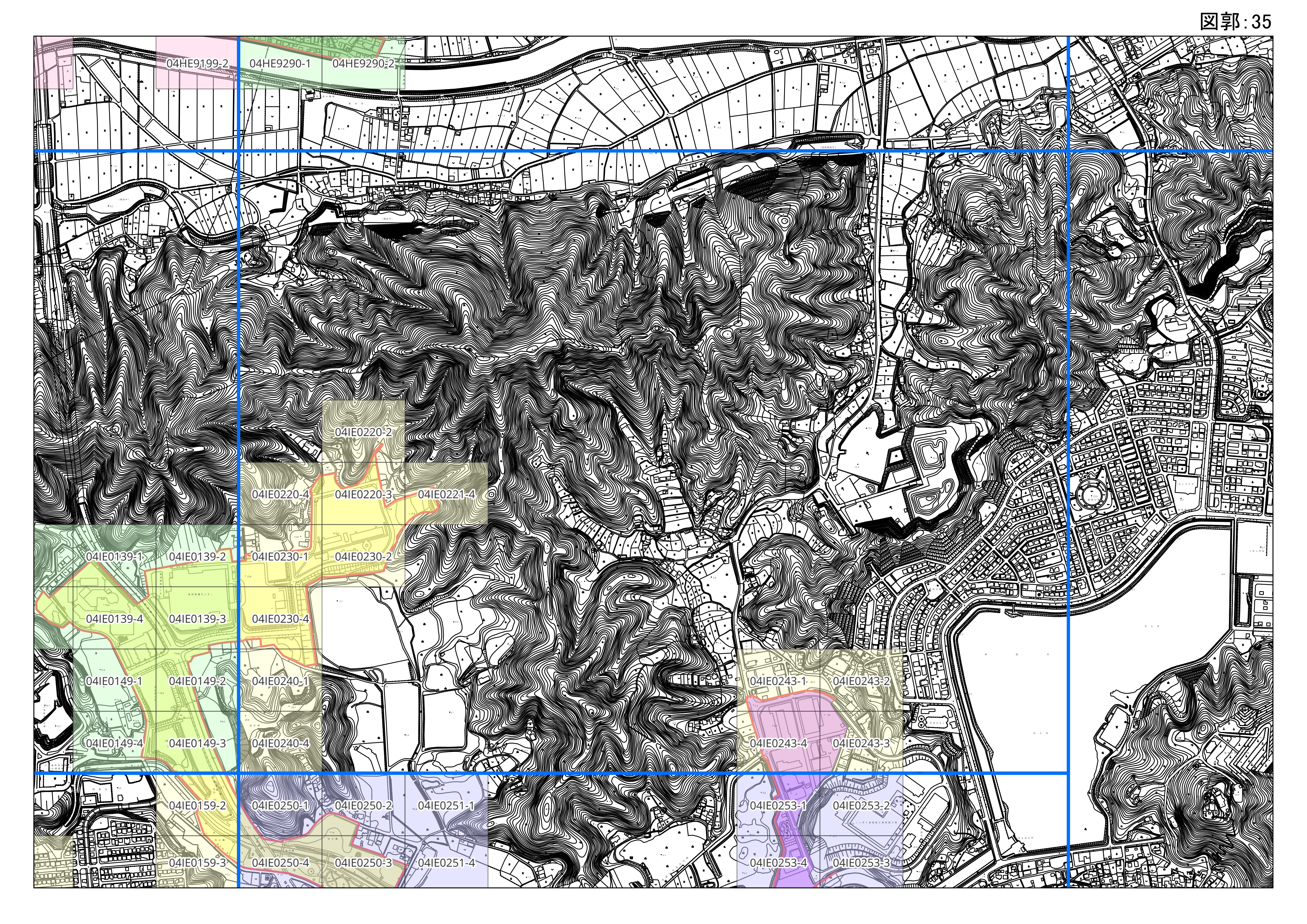
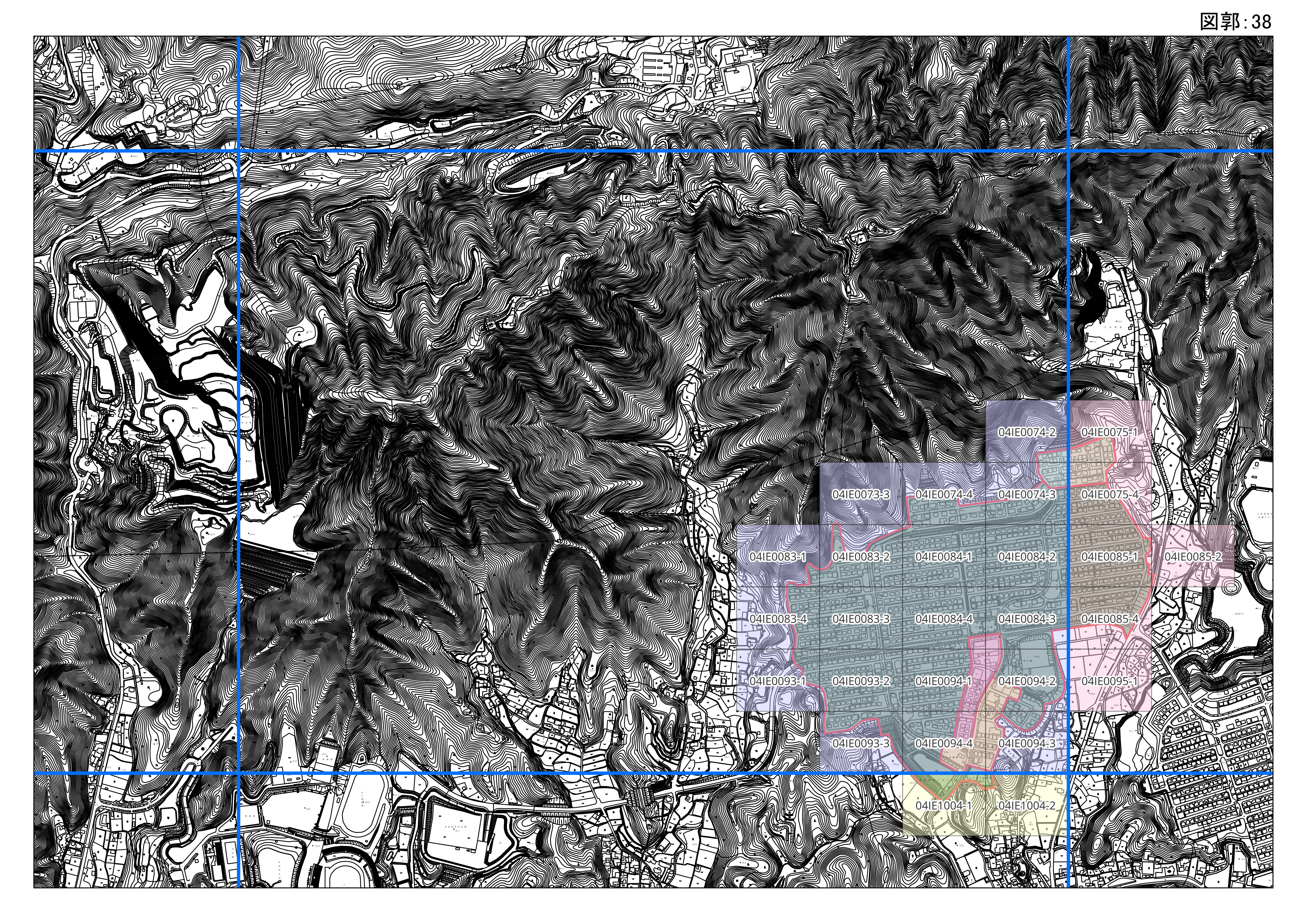
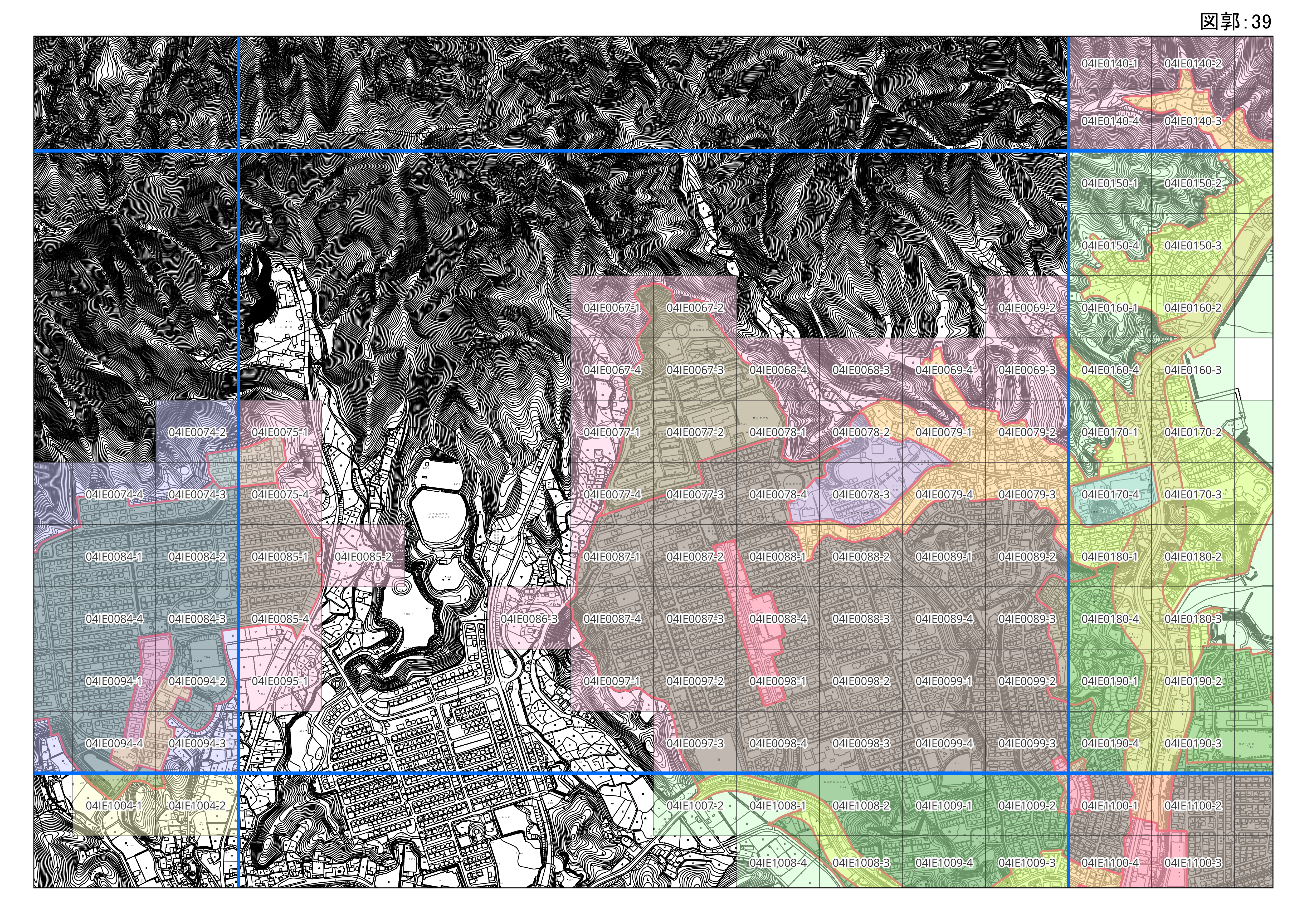
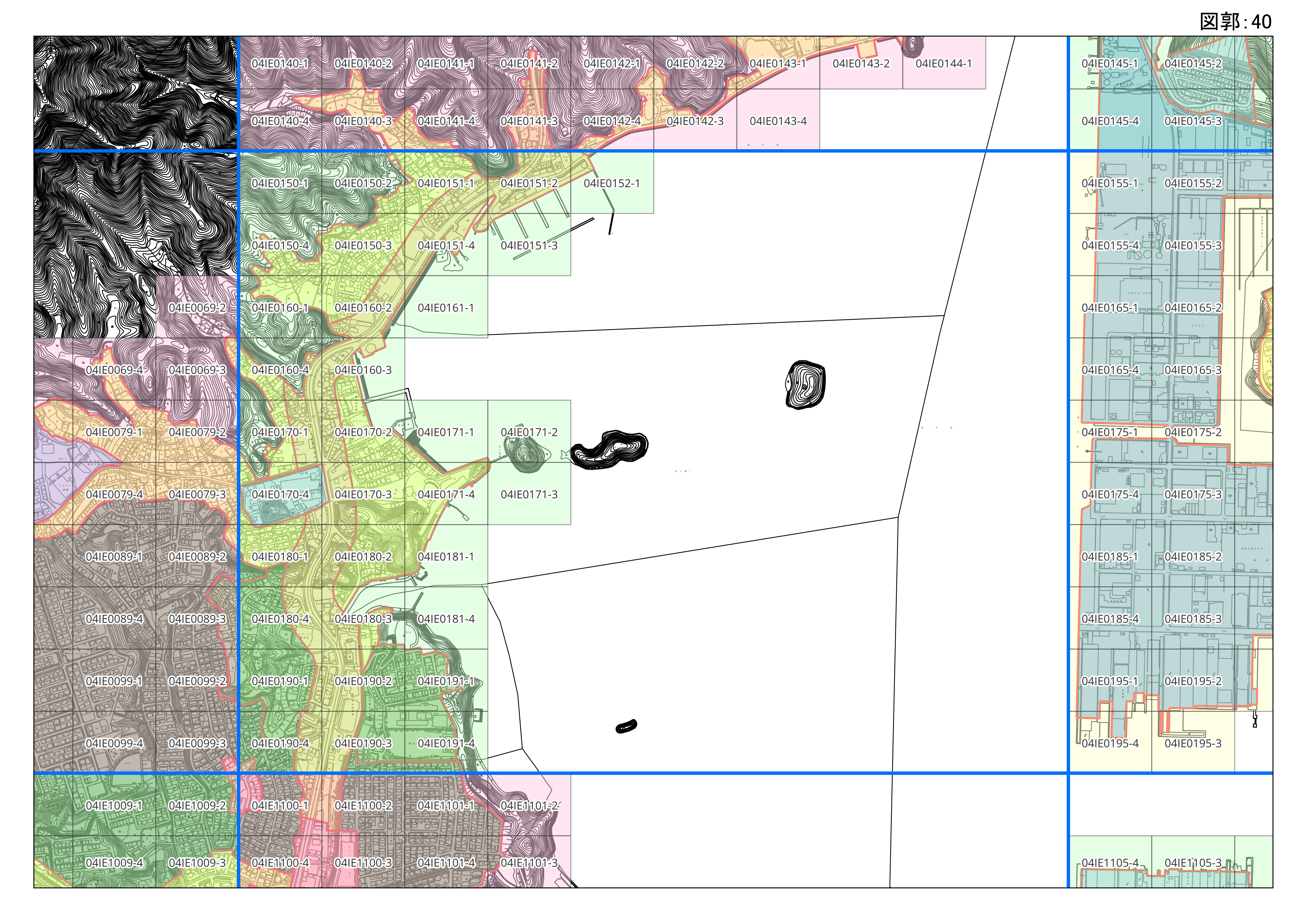
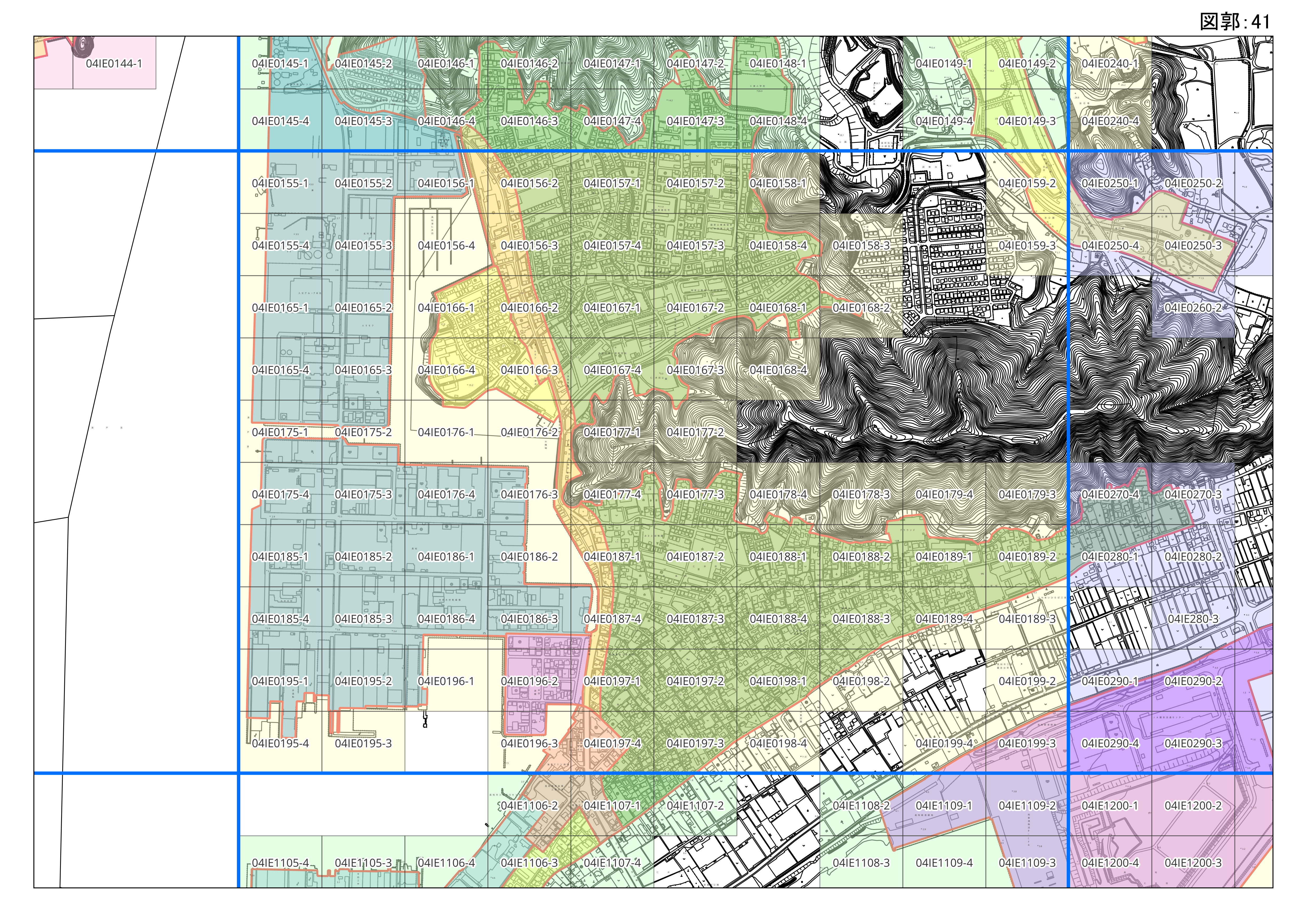
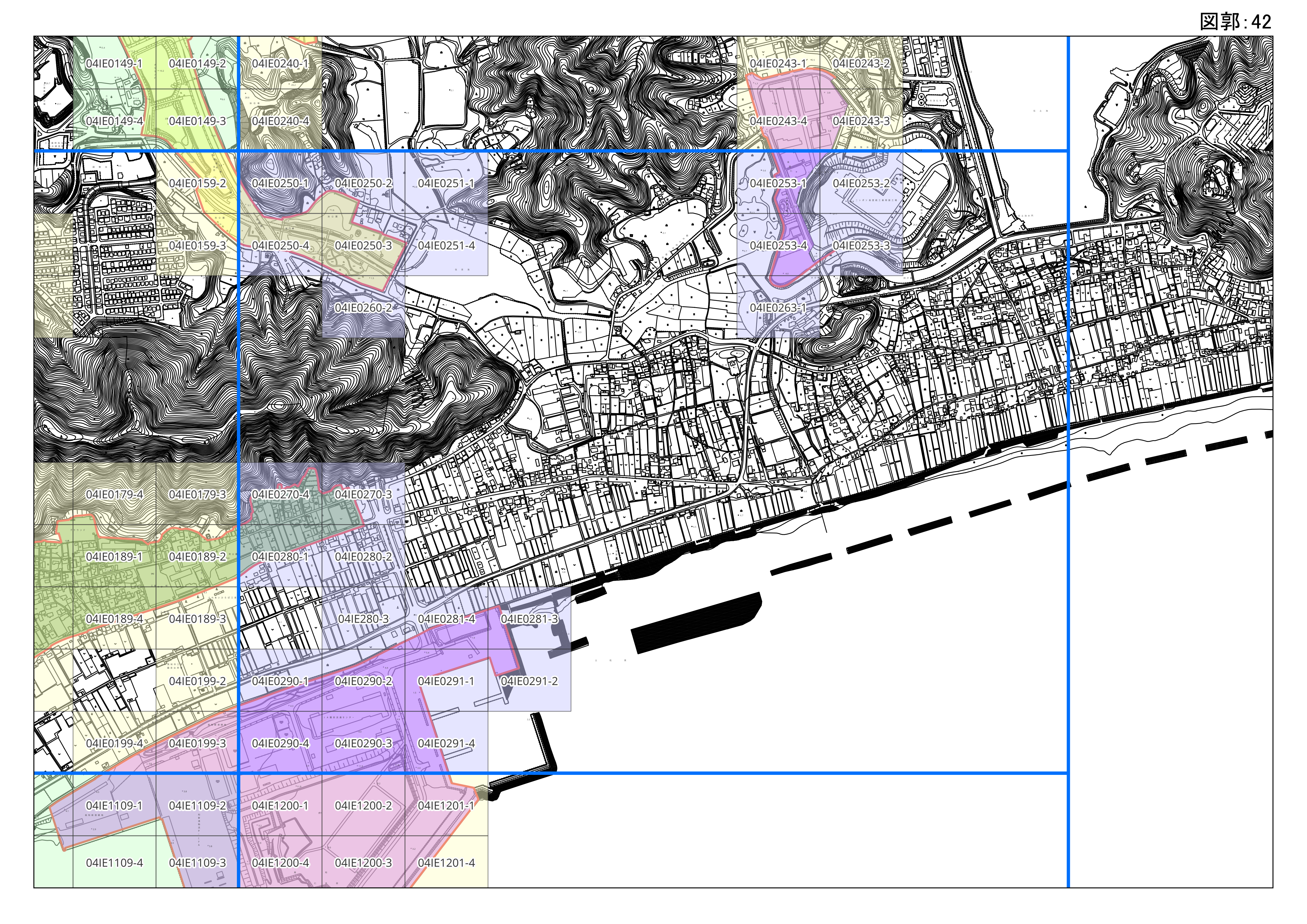
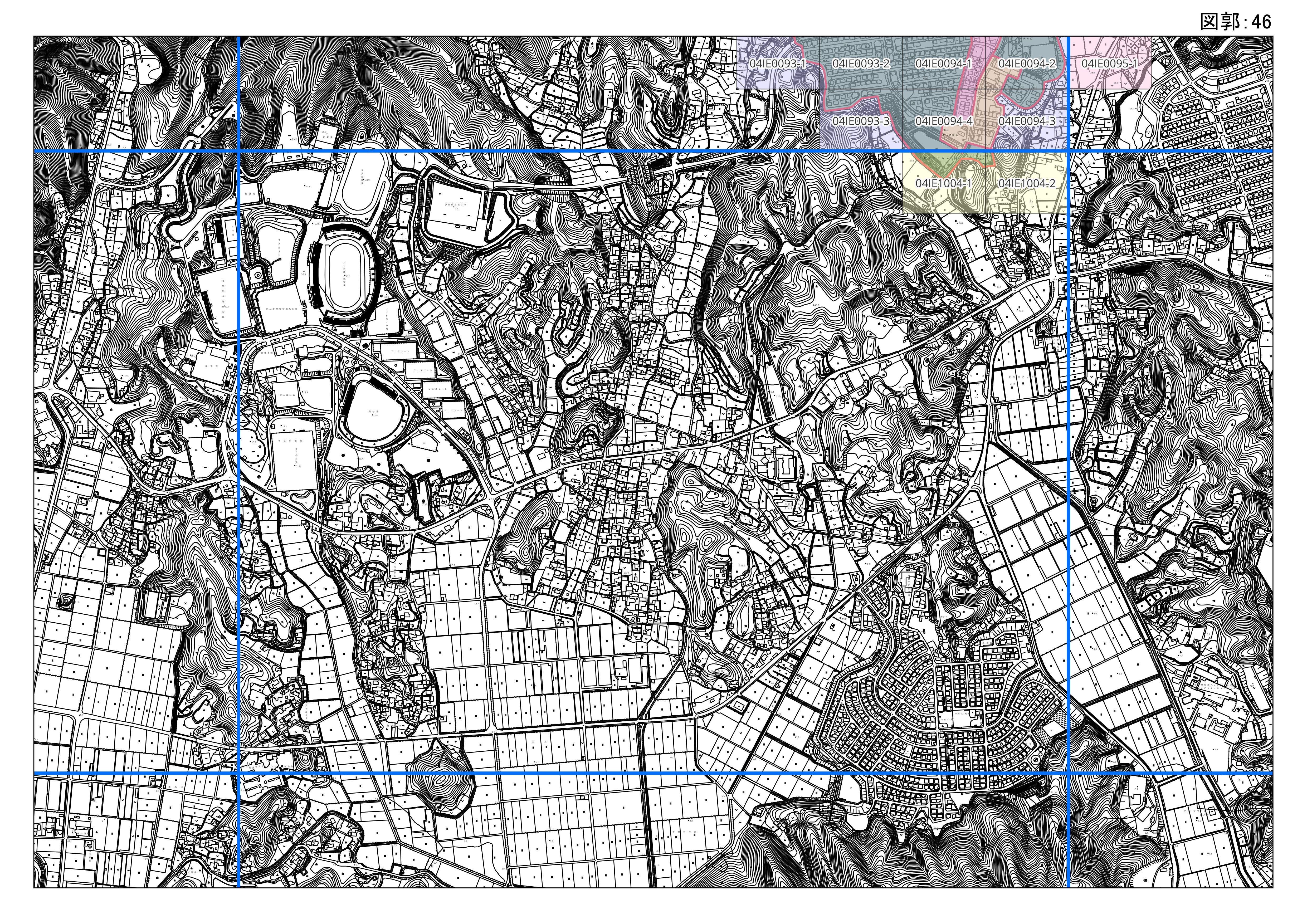
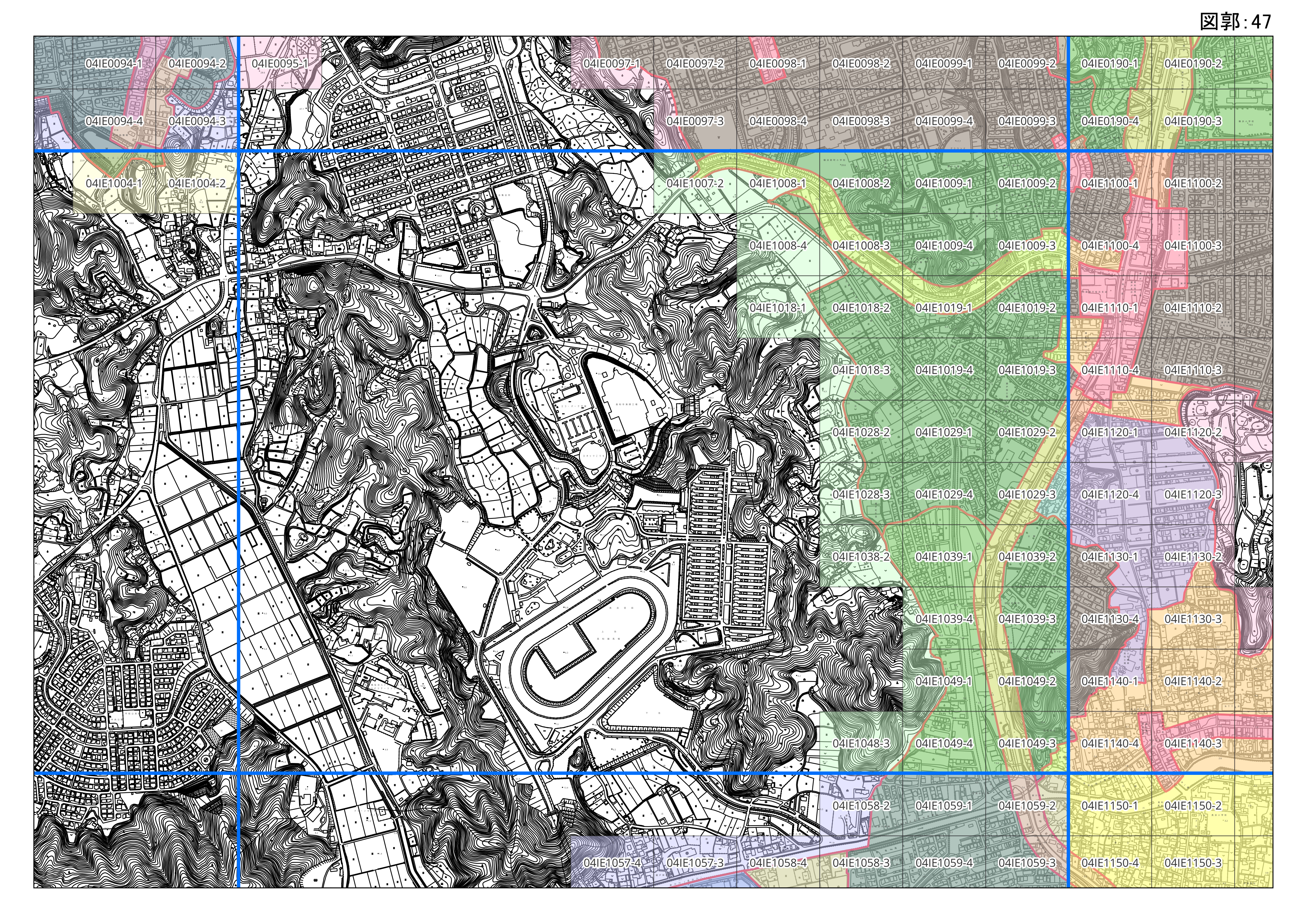
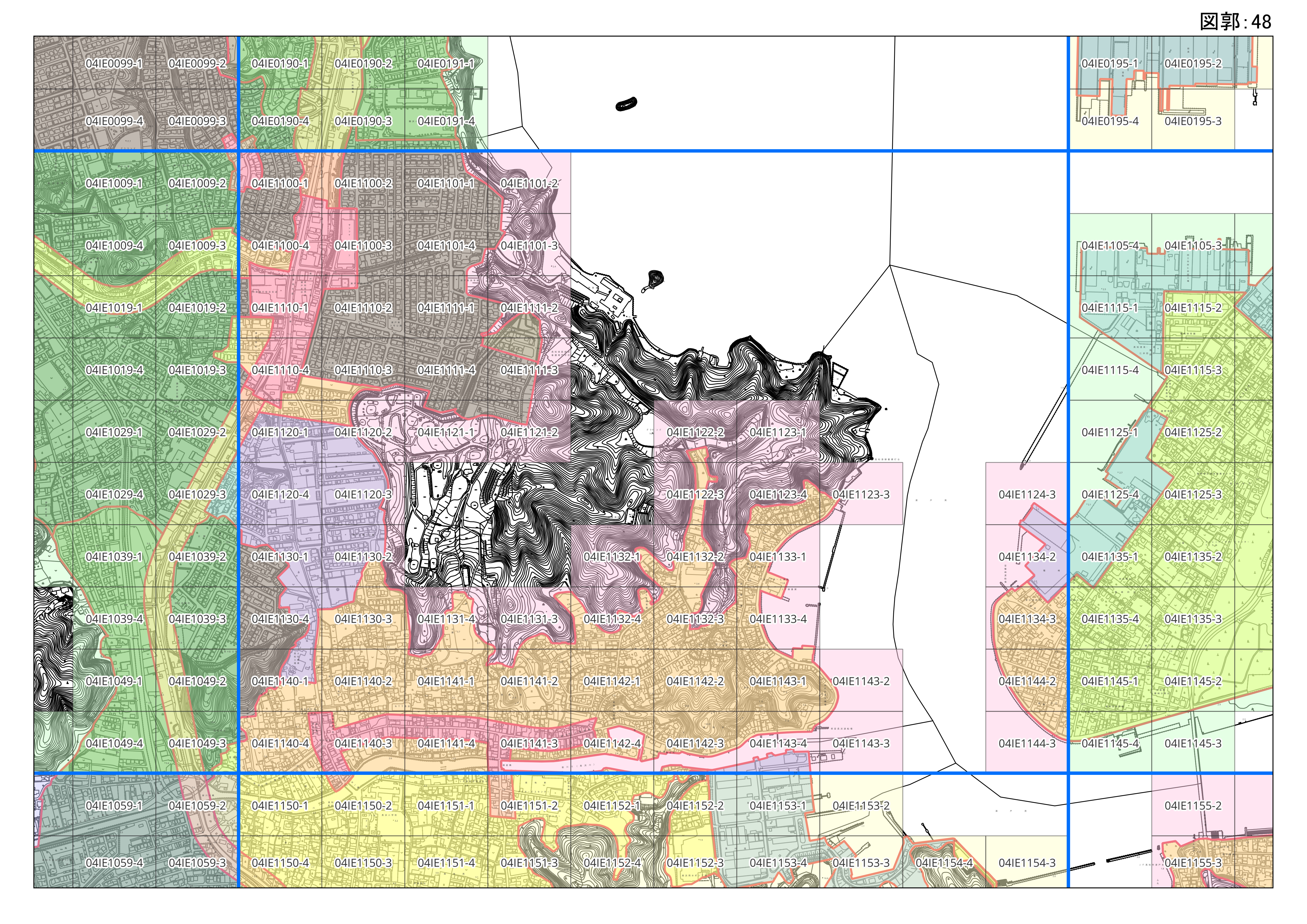
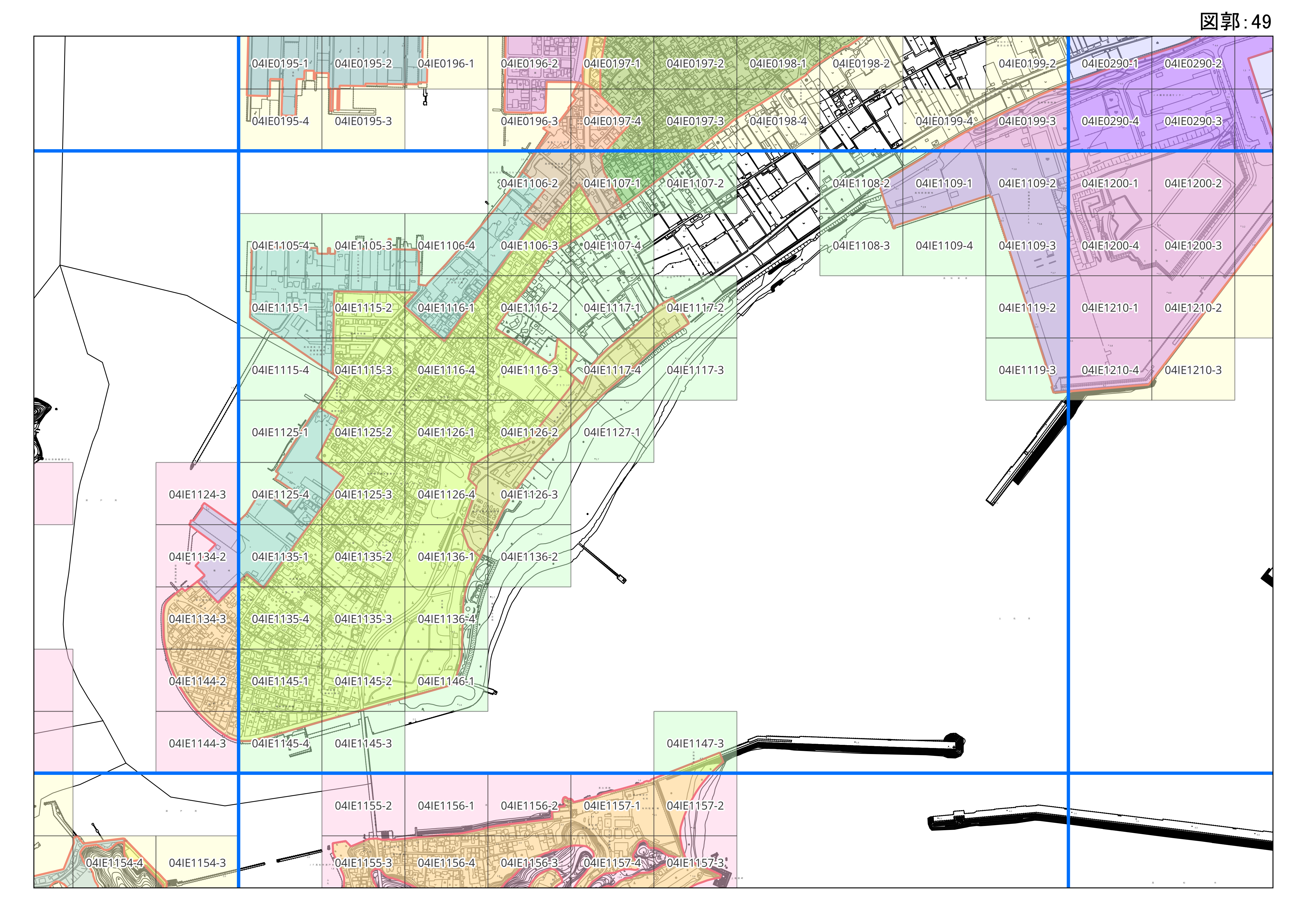
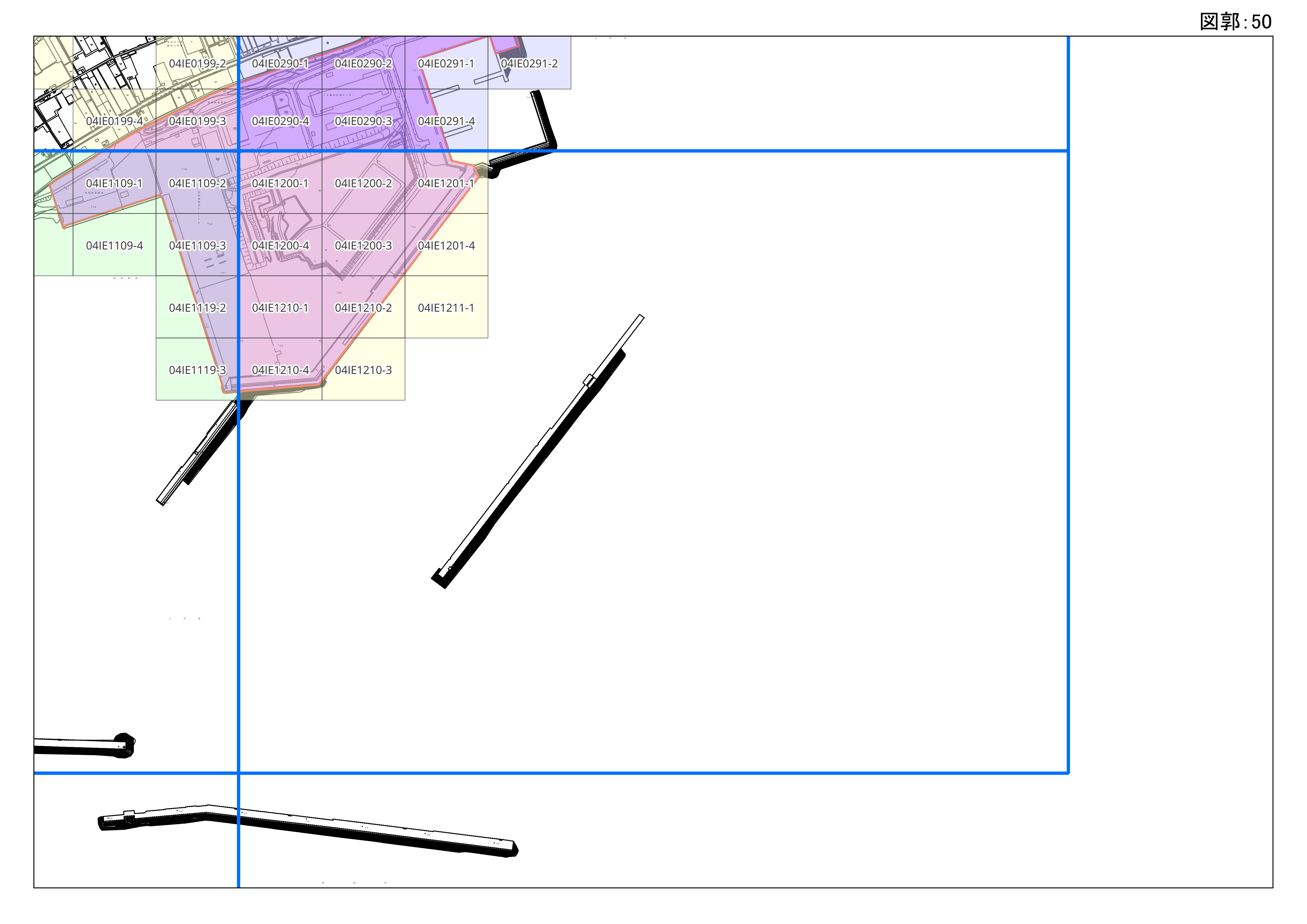
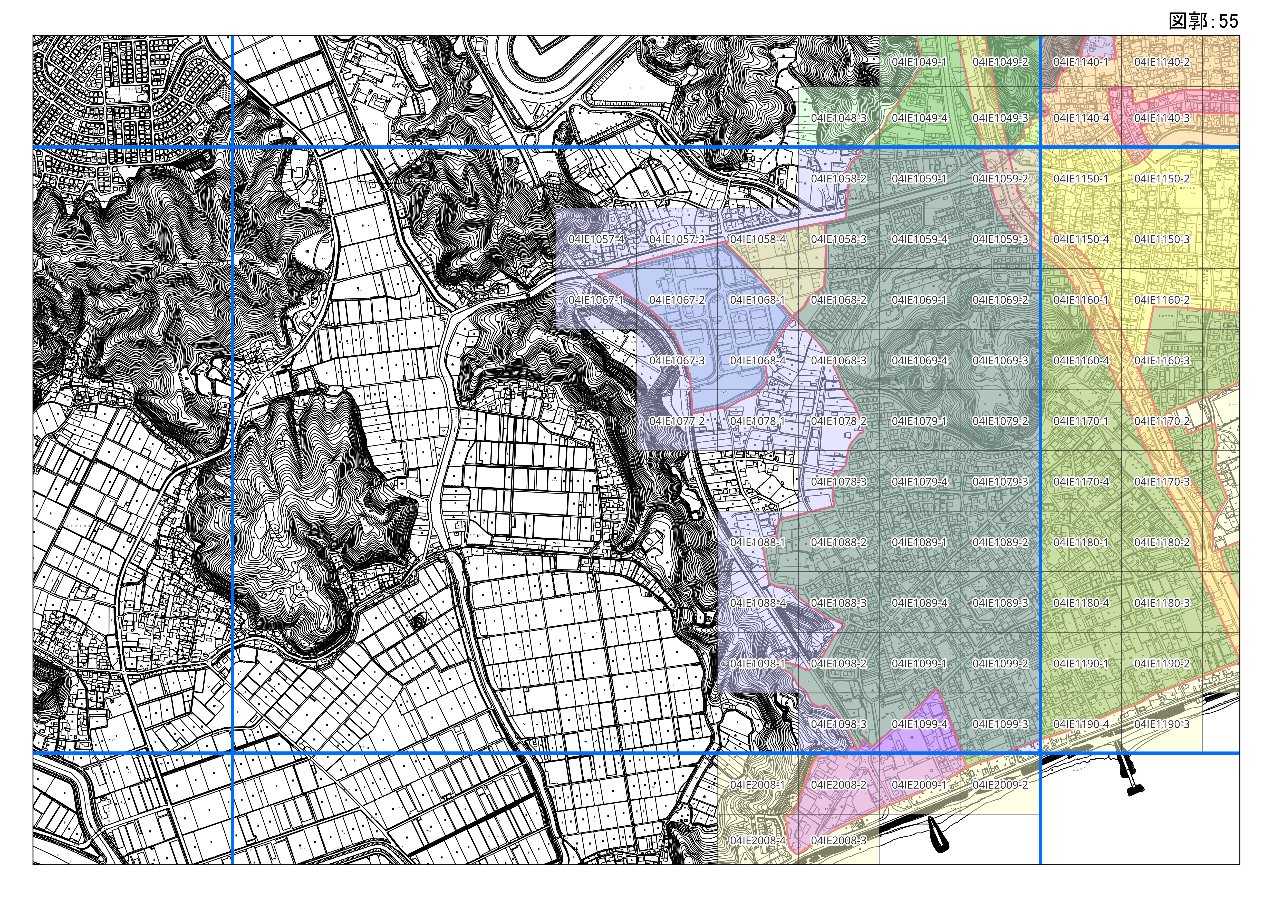
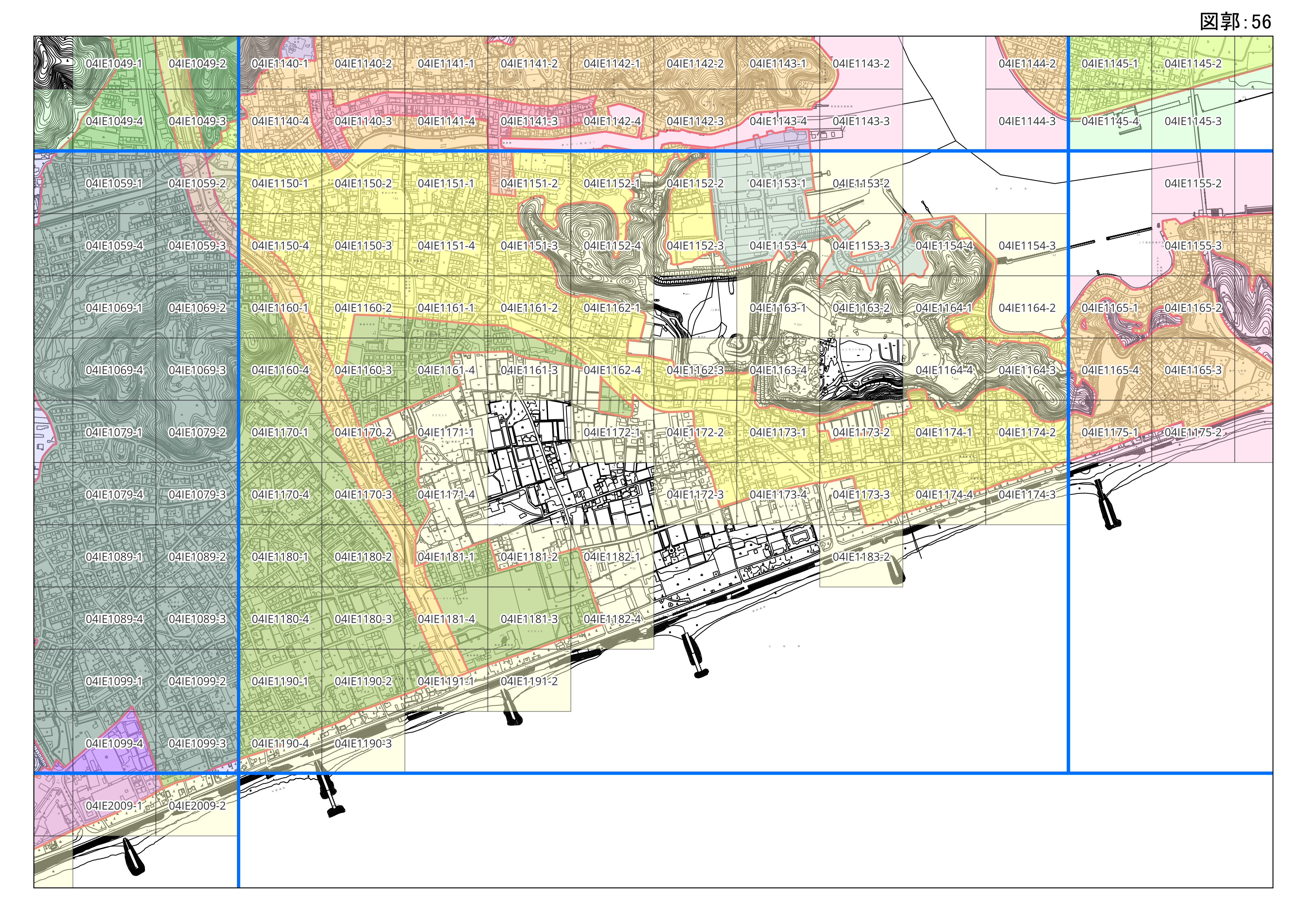
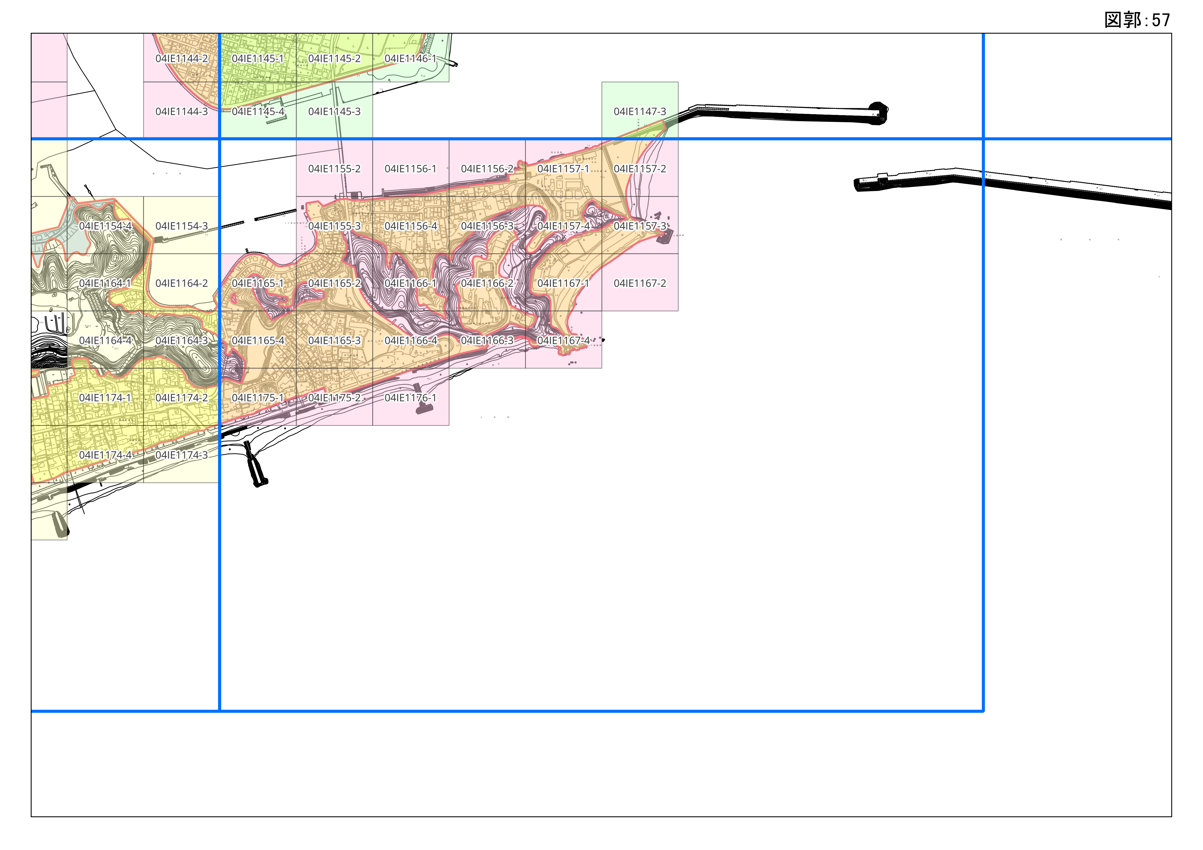
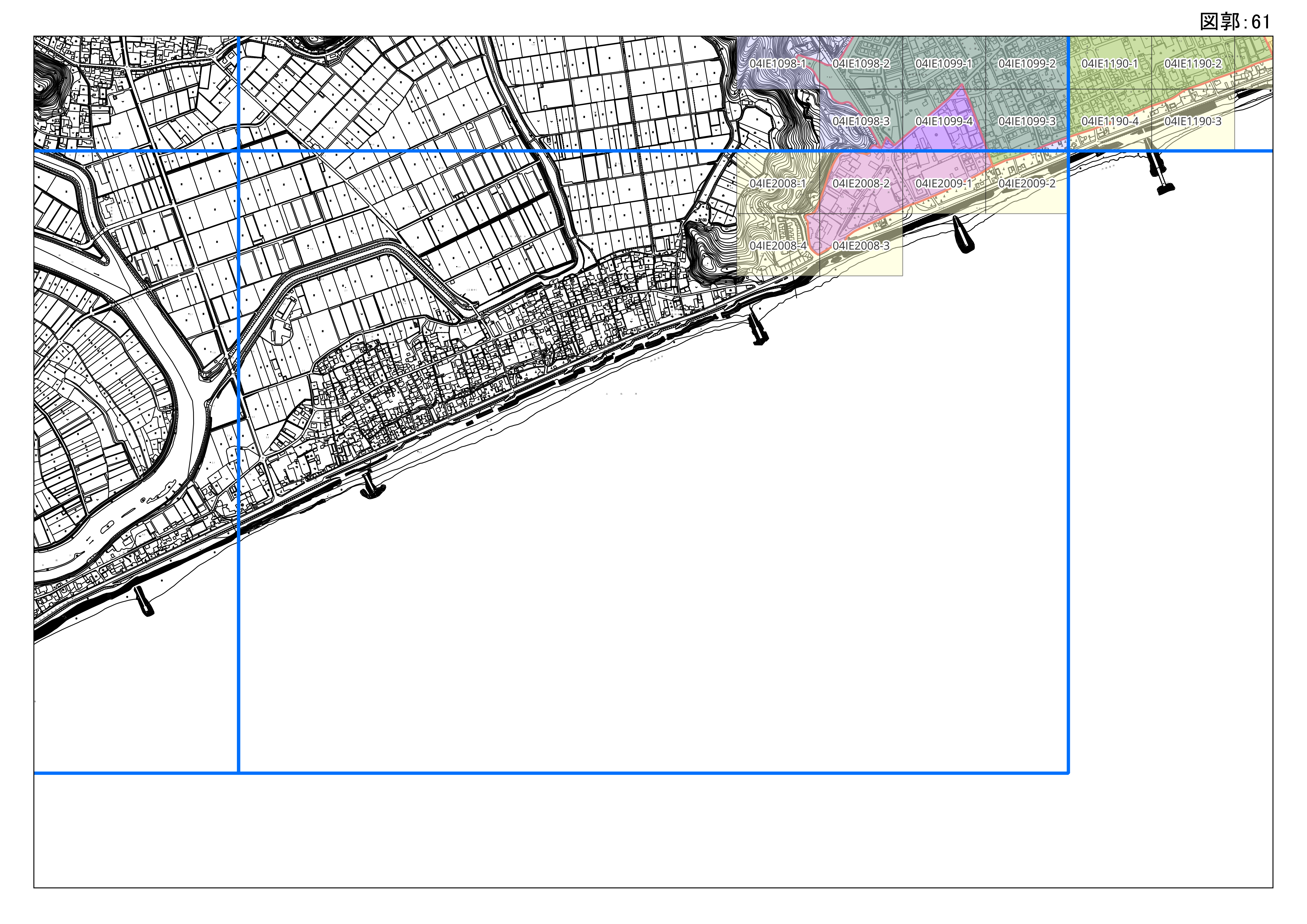
建築確認申請等を行う際に用途境界等の境界線の確認が必要な場合は、申請者自身が参考資料(S=1/1,000)を基に行ってください。
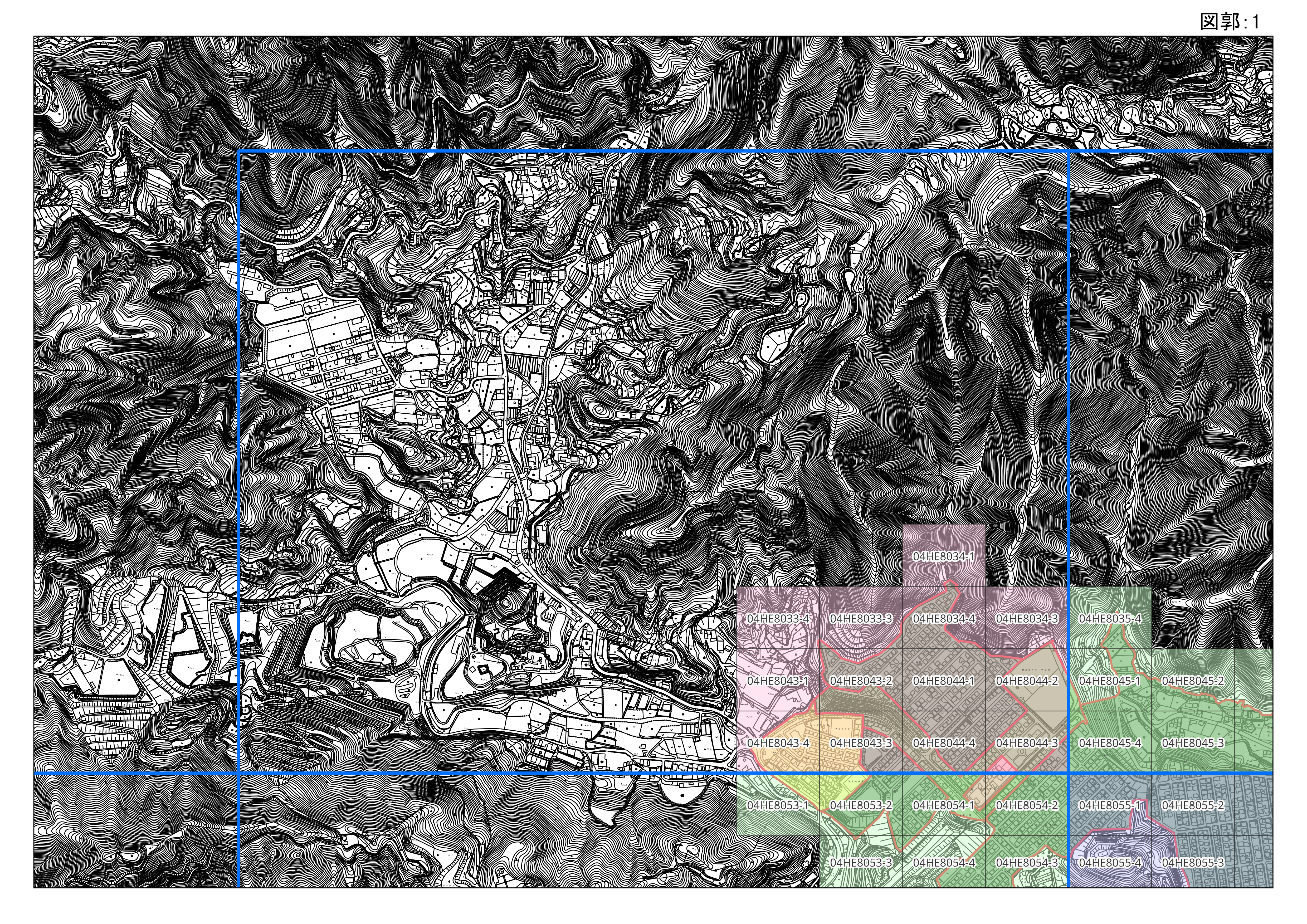
参考資料
≪諸元≫
・ PDF形式
(1) サイズ:A3
・ Jpeg形式 ※位置情報を含む(Geo Jpeg)
(1)解像度:300dpi (2)ページ幅:4960px (3)ページ高さ:3507px(4)形式:Jpeg
(5)座標:日本測地系2011(Jgd2011) Iv系
※Jpeg形式で紙印刷する場合,縮尺が合わないことが多々ありますので、ご注意ください。
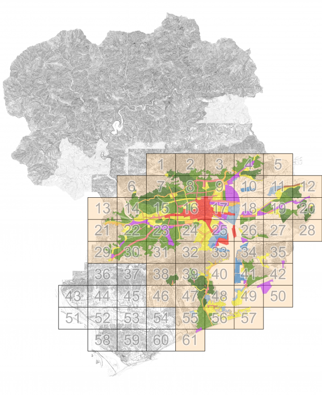
用途地域
2 区域区分(市街化区域・市街化調整区域)・都市計画施設について
都市計画施設・区域区分については、継続して明示を行いますで、ご相談いただいたうえで、申請書等の提出をお願いします。
2-1 明示に必要なもの
(1) 申請書 - 1部 ※委任状(任意様式)
・職員が現地調査のため,申請地に入る場合がありますので,必ず承諾を得てください。
【様式】
・都市計画に関する境界線の明示申出書 [Excelファイル/49KB]
(2) 付近見取り図(位置図) - 1部 ※住宅地図・空中写真でも可
・申請地を赤色等でマーキングしたもの
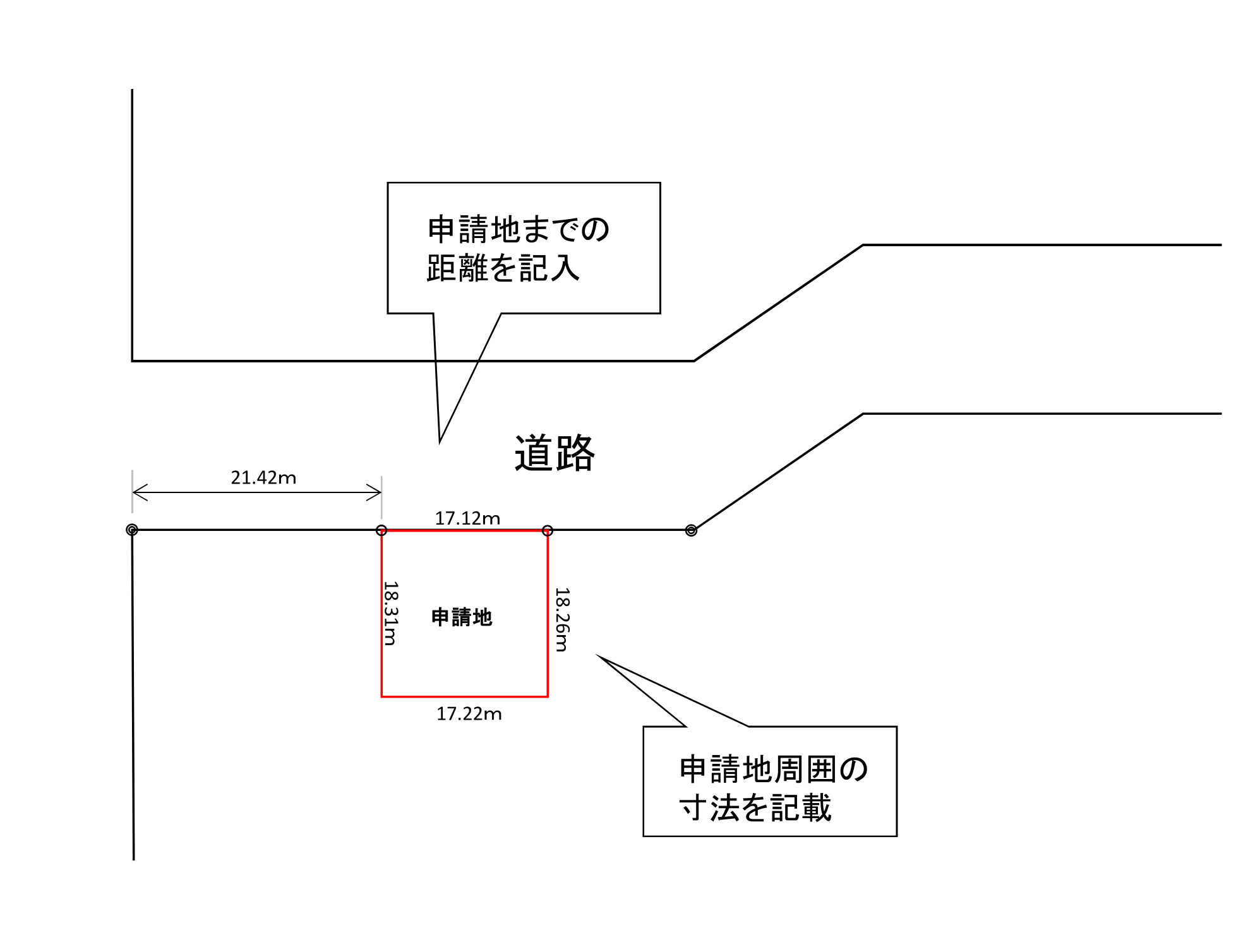
(3) 下記の資料のいずれか - 2部
(1)申請地周辺の測量図
※測量図は,道路(国道・県道・市道)境界からの位置が分かる図面
※現地と図面の整合のとれる縮尺を記載されたもの
※測量図の縮尺は,1/100,1/200,1/250のいずれか
(2)座標(世界測地系)を持った地籍測量図
※任意座標は不可
【具体例((1)申請地周辺の測量図)】
2-2 返却するもの
(3)の測量図等に都市計画の境界線を明示したもの
※都市計画施設の名称等は,明記しません。
≪参考≫ 用途地域等の境界線の確認方法について
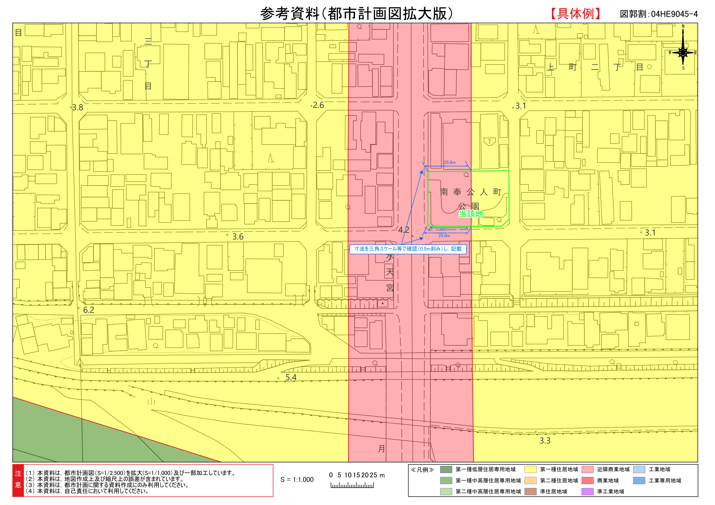
(1)手順(重ね図)
(1) 位置図を作成するように、申請者自身が参考資料に場所をプロット(落とし込み)してください。
(2) 三角スケール等を使って、用途地域の境界線がどの位置にあるのかを0.5m刻みで測ってください。
※ 位置情報を持つデータ(Geo Jpeg)もオープンデータ化していますので、ご利用ください。
※ 必要があれば、図面から測定した数値を用いて、「地積測量図」や「配置図」などに用途地域等の境界線を各自で明示してください。
(2) 具体例(重ね図)
Adobe Readerをお持ちでない方は、バナーのリンク先からダウンロードしてください。(無料)


